
The Three Engines Behind Every Storm on the Forecast Map
The different types of storms run on three engines: rising warm air, ocean heat, and clashing air masses. Learn which is which and why it matters.
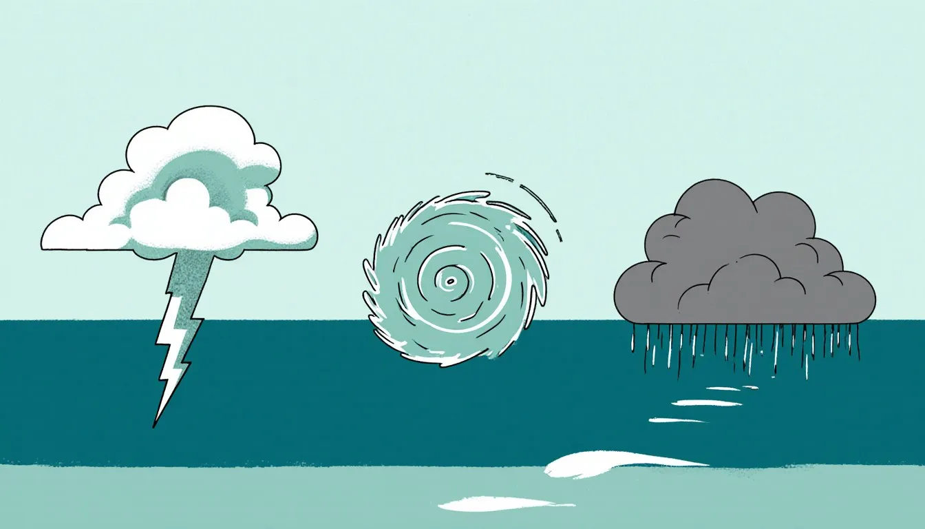
Sort the different types of storms by their fuel and the whole confusing list collapses into three families. A thunderstorm burns off local instability, a pocket of warm, humid air that wants to rise and finally gets to. A hurricane is a heat engine bolted to a warm ocean, converting sea-surface heat into wind for as long as the water underneath holds out. A blizzard, a nor’easter, and the gray three-day soaker that ruins a long weekend all run on something else entirely: the temperature contrast between two air masses shoving against each other along a front.
Three engines, three fuels. Once you can hear which engine a storm is running, the names on the forecast map start telling you what the thing will actually do to you. You will know, without being told, why a hurricane weakens over land and a nor’easter does not, why tornadoes cluster in spring afternoons, and why a “cyclone” in the Bay of Bengal and a “hurricane” in the Gulf are the same animal wearing a different name tag.
What actually makes a storm a storm?
Every storm on Earth needs three things, and they are the same three whether you are watching a summer thunderhead build over a cornfield or tracking a Category 4 across the Atlantic: moisture, instability, and something to do the lifting.
Moisture is the fuel in the most literal sense. Water vapor carries an enormous amount of latent heat, the energy that went into evaporating it in the first place. When that vapor condenses back into cloud droplets high in the atmosphere, the heat comes back out, warming the air around it. That warmed air becomes more buoyant, so it rises faster, so more vapor condenses. A storm is, mechanically, a machine for cashing in the heat that the sun put into water somewhere else.
Instability is the atmosphere’s willingness to let a parcel of air keep going once it starts up. If a rising parcel stays warmer than the air around it, it keeps rising, the way a helium balloon keeps rising. If it cools faster than its surroundings, it stalls and sinks back. Meteorologists measure this with a quantity called convective available potential energy (CAPE), which is exactly what it sounds like: the energy banked in the atmosphere’s vertical profile, waiting to be spent. High CAPE and a trigger gets you towering clouds. High CAPE and no trigger gets you a muggy, oppressive afternoon where nothing happens and everyone complains.
The lifting mechanism is the trigger. Something has to give that first shove upward. It can be a hillside forcing wind to climb. It can be the sun cooking a parking lot until the air above it goes up like a bubble in a lava lamp. It can be a cold front wedging under warmer air and levering it off the ground. It can be the convergence of two sea breezes over a Florida peninsula in the afternoon, which is why Florida gets thunderstorms nearly every summer day like it is scheduled.
Remove any one of the three and you get nothing. A desert has instability and lift to spare and no moisture, so it gets dust instead of rain. A cool, damp, stably stratified morning has moisture and no instability, so it gets fog. Storms happen where all three show up at once, which is a much narrower set of conditions than the sky’s constant churn would suggest.
Why do meteorologists group storms by how they form, not how they look?
A tornado and a dust devil both look like a spinning column of debris, and that is the whole trouble with sorting by appearance. One comes from a rotating thunderstorm eight miles tall and can level a subdivision; the other is a bubble of hot air spinning up off a hot parking lot and will, at worst, knock over a lawn chair. Appearance puts them in the same box; the mechanisms behind them share nothing but the fact that air is turning.
Sorted by engine, the storm world has three main families, and this piece uses them throughout.
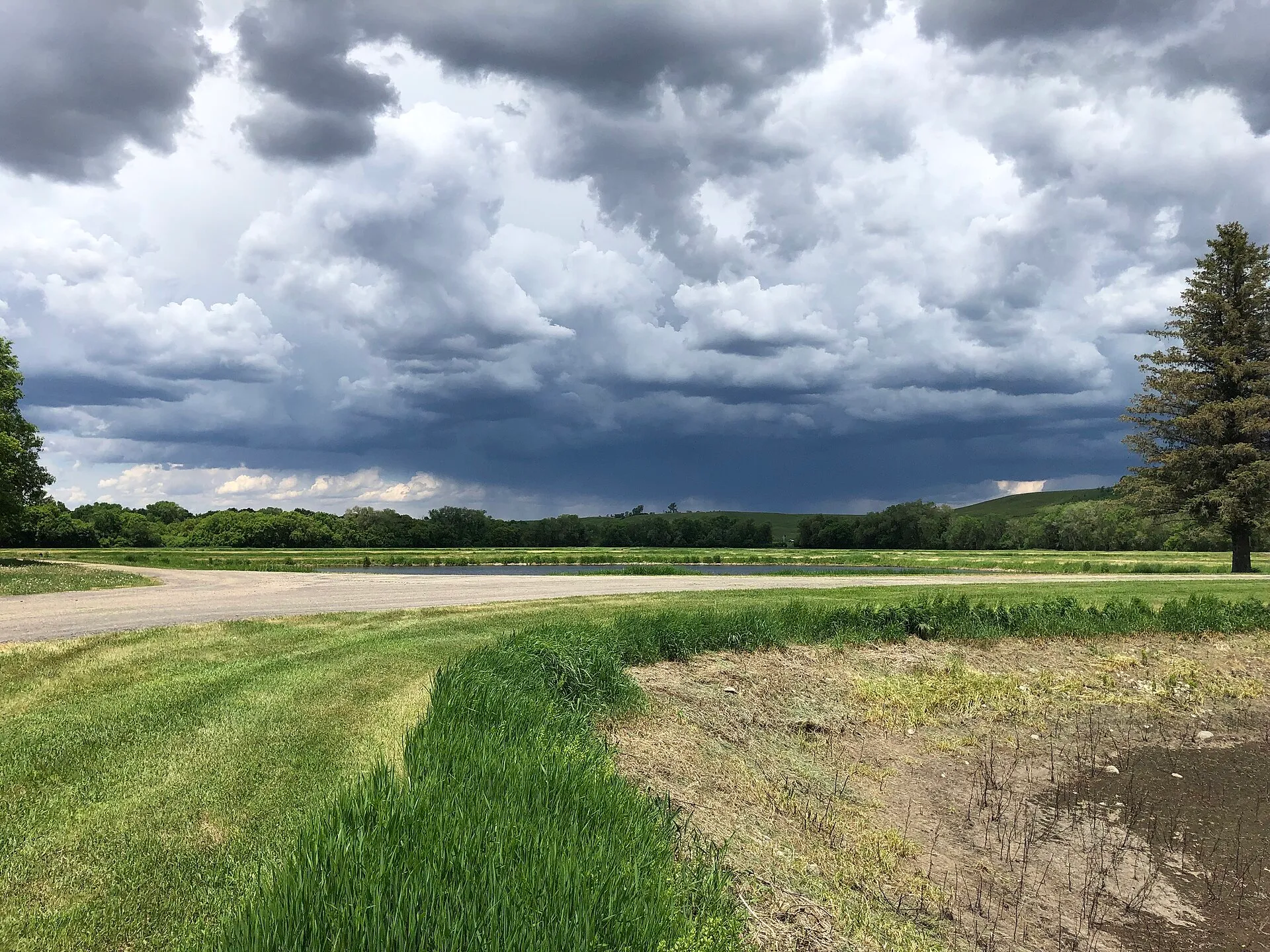
- Convective storms run on local instability. Warm, humid air near the surface, colder air aloft, and a trigger. They are usually small (a few miles to a few tens of miles across), short-lived (an hour to a long evening), and they punch far above their weight in intensity. Thunderstorms, supercells, tornadoes, hailstorms, and derechos all live here.
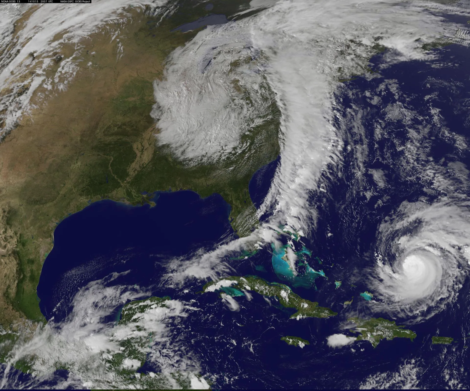
- Tropical cyclones run on warm ocean water. They need a sea surface warm enough to keep evaporating, deep enough that the storm’s own churning does not cool it off, and they need to be far enough from the equator for the Earth’s rotation to organize them into a spin. Hurricanes, typhoons, and tropical cyclones are the same engine in three oceans.
- Extratropical cyclones run on temperature contrast. They form along the boundary between polar and tropical air, most vigorously in the cold half of the year, and they are enormous: a single one can spread rain over Georgia, ice over Kentucky, and blizzard conditions over Michigan at the same hour. Nor’easters, winter storms, blizzards, and most of the frontal rain in the mid-latitudes come from this family.
There is a fourth, looser group worth keeping on the shelf: storms named for what they carry rather than how they spin. Dust storms, ice storms, and firestorms are defined by their payload, and each one is usually being driven by an engine from one of the three families above. Identify the fuel source first, the way you would check units before trusting an answer, and the payload name tells you the rest.
A haboob is the outflow from a collapsing thunderstorm, so it is convective at heart. An ice storm is a specific temperature sandwich inside an extratropical system.
What is a thunderstorm, and what makes one severe?
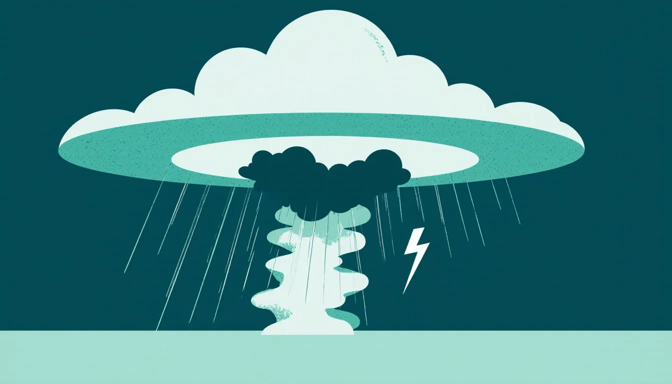
A thunderstorm is a column of rising air that has grown tall enough and violent enough to separate electrical charge, and every one of them, from the meekest afternoon shower to the monster that spawns a tornado, is built from the same two parts: an updraft and a downdraft.
The updraft is the engine. Warm, humid surface air gets its shove and starts up. As it rises it cools, water vapor condenses, latent heat releases, and the parcel keeps accelerating. In a strong storm this updraft can move air upward at highway speeds, punching the cloud top into the stratosphere, where a stable layer stops it cold and spreads the top sideways into the flat anvil shape you can see from fifty miles away. That anvil is a storm hitting its ceiling.
The downdraft is the brake. Rain and hail falling out of the cloud drag air down with them, and evaporating precipitation chills that air further, making it denser and sending it down faster. When that cold air hits the ground it spreads outward in every direction. That is the sudden cool gust and the smell of rain that arrives a minute or two before the first drops, and it is worth paying attention to: the gust front is the storm’s exhaust, and it can carry damaging wind well ahead of the rain.
Single cells, clusters, lines, and supercells
The four classic thunderstorm structures are a matter of how the updraft and downdraft are arranged relative to each other.
- Single-cell storms are the garden-variety summer pop-up. One updraft, one downdraft, and the downdraft eventually chokes off the updraft that made it. Life span: often under an hour. They can still drop dangerous lightning and brief heavy rain.
- Multicell clusters are groups of cells at different ages, where the outflow from a dying cell lifts new air and triggers a fresh one on its flank. The cluster outlives any individual cell, which is why an “hour-long” storm type can rain on you for four hours.
- Squall lines are cells organized into a wall, often along or ahead of a cold front, with a continuous gust front running out in front like a plow. These produce the classic wall of dust and wind that arrives before the rain.
- Supercells are the rare ones, and the dangerous ones, because they solve the problem that kills every other storm. In a supercell, wind shear tilts the storm so the downdraft falls away from the updraft instead of on top of it. The engine never chokes itself. Supercells can persist for hours, produce hail the size of fruit you would not want to be hit by, and they are responsible for nearly all violent tornadoes.
“Severe” has a definition with numbers attached. In the United States, the National Weather Service issues a severe thunderstorm warning when a storm is producing (or is about to produce) hail 2.5 cm (one inch) in diameter or larger, wind gusts of 93 km/h (58 mph) or more, or a tornado. One inch is quarter-sized. That threshold sounds arbitrary until you learn it was set where hail damage to property becomes reliably likely.
Note what is not on the list: lightning. Every thunderstorm has lightning by definition, so lightning alone never earns a severe warning, which leads a lot of people to assume a non-severe storm is a safe storm. Lightning kills people in ordinary, unwarned thunderstorms every year. If you can hear thunder, you are within range of the next strike. Get inside a substantial building or a hard-topped vehicle, and stay there for thirty minutes after the last rumble. If you want the fuller mechanics of how these storms build and what they do on the ground, our fuller account of the causes and effects of thunderstorms goes further than this overview does.
How does a thunderstorm turn into a tornado?
A thunderstorm becomes tornadic when it acquires a spin it did not start with, and the spin comes from wind shear, not from the Earth’s rotation. Storms are far too small and too short-lived for the Coriolis effect to organize them the way it organizes a hurricane. What tilts a storm into a supercell is the wind changing speed and direction with height.
Picture a layer of air with slow wind at the surface and much faster wind a mile up, blowing from a different direction. That difference sets the air rolling horizontally, like an invisible log rolling across the landscape. The log is only a shape, though: nothing holds it together, and the tube stretches, sags, and shreds along its length rather than staying a neat cylinder. Now bring in a strong updraft. It catches the middle of that rolling tube and lifts it, tilting the horizontal spin upright. The storm now has a rotating updraft several miles across, called a mesocyclone. Radar sees it before your eyes do, which is the entire reason tornado warnings can arrive before anything is visible from the ground.
A mesocyclone is not yet a tornado. Most rotating supercells never produce one. The final step involves the storm’s own cold outflow, the rear-flank downdraft, wrapping around the low-level rotation and tightening it, the way a skater pulls in their arms and speeds up. The skater is a loose fit: she is one rigid body conserving her own spin, while a tornado is air being actively squeezed inward by a downdraft that keeps supplying the push. Concentrate that rotation into a column a few hundred yards across and the pressure at the center drops far enough to condense water vapor into the visible funnel. The funnel traces where the pressure drop has pulled water vapor past its condensation point, so it marks the wet part of the circulation rather than its full width. The circulation is often already on the ground doing damage before the funnel becomes visible all the way down, which is why “I don’t see a funnel” is a poor reason to ignore a warning.
A few things reliably confuse people here, and they are worth naming:
- A waterspout over a lake is not automatically a tornado’s weaker cousin. Fair-weather waterspouts form from the surface up under building cumulus and are usually mild. Tornadic waterspouts are ordinary tornadoes that happen to be over water, and they carry the same danger.
- A dust devil is not a small tornado. No parent thunderstorm, no mesocyclone, no relation. It is surface heating spinning up on a clear day.
- Tornadoes do not track reliably from southwest to northeast. Many do, because that is the steering flow in the classic Plains setup, but the path is set by the storm, and storms turn. Planning your escape around an assumed direction is how people drive into one.
- Highway overpasses are not shelter. Wind accelerates through the gap underneath and the structure offers nothing against flying debris. This one persists because of a widely circulated 1991 video where a news crew survived under one, and it has gotten people killed since.
The stage-by-stage anatomy of these storms, from first rotation through the rope-out, is covered in the tornado life cycle, and the damage side gets its own treatment in the effects of tornadoes.
What turns a cluster of thunderstorms into a hurricane?
A hurricane starts as an unremarkable clump of thunderstorms over tropical ocean and becomes a hurricane by discovering how to feed itself. The transition is worth understanding precisely, because it explains every strange thing hurricanes do.
Ordinary thunderstorms cool their own environment and die. A tropical cyclone runs a loop instead. Warm ocean water evaporates into the surface air. That humid air spirals inward toward a zone of low pressure and rises in a ring of thunderstorms. As it rises and condenses, latent heat releases and warms the core of the system. A warm core is a low-pressure core, so surface pressure drops further. Lower pressure means stronger inflow winds. Stronger winds whip up more sea spray and evaporation. More evaporation means more fuel. Around and around, until something stops it.
The conditions the loop requires are specific:
- Deep warm water. The rough working threshold is a sea surface around 26.5 °C (about 80 °F), and it has to be warm well below the surface, because a hurricane’s own winds churn cold water up from below. A storm can weaken itself by stirring up the ocean it is standing on.
- Distance from the equator. The Coriolis effect, the apparent deflection caused by the Earth’s rotation, is what turns inflowing air into a spiral instead of letting it rush straight to the center and fill the low. At the equator that deflection is zero, which is why tropical cyclones essentially never form within a few degrees of it. The same rotation sets the spin direction: counterclockwise in the Northern Hemisphere, clockwise in the Southern.
- Weak vertical wind shear. Everything a supercell loves, a hurricane hates. Shear tilts the warm core over and ventilates the heat away. This is the single most common reason a promising tropical disturbance fizzles.
- Moist air aloft. Dry air entrained into the system, Saharan dust layers being the classic Atlantic example, kills the updrafts by evaporating their cloud droplets.
Get all four and the system organizes. Sustained winds reach 63 km/h (39 mph) and it earns a name as a tropical storm. Reach 119 km/h (74 mph) and it is a hurricane, and by that point it has usually built the structure everyone recognizes from satellite: an eyewall, a ring of the tallest and most violent thunderstorms in the system, surrounding an eye of sinking, clearing, nearly calm air. The eye exists because air spiraling inward cannot reach the exact center; conservation of angular momentum spins it up faster and faster as it converges, and it ends up rising in the eyewall instead. Some of that air then sinks back down the middle. The calmest spot in the storm sits a few miles from the most violent, with no gradual transition between, which is why “the storm is over” during an eye passage is one of the deadliest wrong conclusions in weather.
This also explains landfall. Take away the warm ocean and the loop breaks immediately. A hurricane over land is a storm burning its remaining fuel with nothing coming in, and it winds down over hours to a day or two. The wind fades fastest. The rain does not, and inland flooding from a decayed tropical system routinely kills more people than the wind ever did at the coast. For the full development picture and the damage side, our account of the causes and effects of hurricanes goes deeper, and a separate piece on hurricane categories takes on the ranking scale in detail.
Hurricane, typhoon, or cyclone: same storm, different ocean?
Same storm, same physics, three regional names, and the answer is purely a matter of which ocean it formed over. The generic scientific term is tropical cyclone. Everything else is a naming convention.
- Hurricane: the North Atlantic, the Caribbean, the Gulf, and the eastern and central North Pacific.
- Typhoon: the northwestern Pacific, the basin that produces the most tropical cyclones on Earth.
- Cyclone (or tropical cyclone): the North Indian Ocean, the South Indian Ocean, and the South Pacific.
A storm that crossed from the eastern Pacific into the western Pacific would change its name mid-ocean without changing a thing about itself. That has happened.
Two persistent tangles are worth undoing here. The first is the direction of spin. The old claim that “hurricanes rotate counterclockwise and cyclones rotate clockwise” mixes up region with hemisphere. Rotation is set by which hemisphere you are in, not by which word the local weather service uses. Northern Hemisphere tropical cyclones turn counterclockwise, whether they are called hurricanes or typhoons. Southern Hemisphere ones turn clockwise. An Australian cyclone spins clockwise not because it is called a cyclone but because it is south of the equator.
The second tangle is “cyclone” itself, which does double duty in English. In the technical sense, a cyclone is any closed low-pressure circulation, which includes the winter storm bearing down on New England. That is why meteorologists say extratropical cyclone for a frontal winter storm, and it is why a headline about a “bomb cyclone” in February is not talking about anything tropical. Regionally, “cyclone” also means specifically a tropical cyclone in the Indian Ocean and South Pacific, and in parts of the American Midwest it was once ordinary usage for a tornado, which is where a good deal of the modern confusion originally came from. Same word, three jobs.
Scale is the cleanest way to keep tropical cyclones and tornadoes apart, since people conflate them constantly. A hurricane can be several hundred miles across and last a week or more. A tornado is typically a few hundred yards across and lasts minutes. The tornado has the higher peak wind speeds by a wide margin; the hurricane does vastly more total damage because it applies its lesser winds, its rain, and its storm surge across an area thousands of times larger. Side-by-side comparisons live in the typhoon vs hurricane vs tornado breakdown and in cyclone vs tornado.
What makes a winter storm different from a blizzard?
A winter storm is the whole weather system; a blizzard is a wind-and-visibility condition that a winter storm can produce. You can have a foot of snow with no blizzard at all, and, stranger to most people, you can have a blizzard with no snow falling from the sky.
The engine here is the extratropical cyclone, and it works nothing like a hurricane. There is no warm core and no ocean fueling it. It draws its energy from the horizontal temperature contrast between air masses, which is why these systems are strongest in the cold season, when the gradient between polar and tropical air is steepest, and why they are strongest along the coast, where cold continental air meets a relatively warm ocean.
An extratropical cyclone organizes that contrast into fronts. Warm air rides up and over the cold air ahead of it along the warm front, producing a broad shield of steady precipitation hundreds of miles wide. Cold air wedges under warm air along the cold front, producing a narrower, sharper line of heavier weather. The whole assembly spins counterclockwise around the low center in the Northern Hemisphere and can span a thousand miles. That is why the same storm delivers rain to one state, sleet to the next, and heavy snow to the one after that, all at once. The precipitation type is set by the temperature profile the falling snowflake passes through on the way down.
Nor’easters and the coastal setup
A nor’easter is an extratropical cyclone that develops or intensifies along the eastern seaboard of North America, named for the direction its strongest winds come from. The setup is a good illustration of the family’s fuel source: frigid air pouring off the continent meets the relatively mild Atlantic, with the Gulf Stream keeping that water warm well into winter. That temperature clash is the energy source, and the ocean throws in the moisture. When these systems deepen fast enough, the pressure dropping sharply over a day, forecasters call it bombogenesis, a term with a threshold behind it: a central pressure fall of roughly 24 millibars in 24 hours, adjusted for latitude.
The blizzard criteria, which are about wind, not snowfall
In the United States, the National Weather Service defines a blizzard by conditions rather than accumulation: sustained wind or frequent gusts of 56 km/h (35 mph) or greater, together with falling or blowing snow reducing visibility to under 400 m (a quarter mile), for at least three hours. Read that again and notice what is missing. There is no snowfall total in the definition.
This is why a ground blizzard is a real thing. Take a landscape already covered in dry, loose snow, add a clear sky and a 64 km/h (40 mph) wind, and you get a whiteout with not a single flake falling. Drivers on open plains highways have been stranded by ground blizzards on days the forecast said “sunny and cold.”
Whiteout conditions do a specific and nasty thing to human perception: with no contrast, no horizon, and no shadow, your visual system loses its reference for distance and orientation entirely. People have walked in circles a hundred feet from a building they could not see. If you are caught driving in one, the conservative guidance is consistent: stay with the vehicle, keep it visible, make sure the exhaust pipe is clear of snow before running the engine for heat, and run it only intermittently. A car is a poor shelter and a much better one than being on foot in a whiteout.
One more member of this family deserves its own mention, because it is the most underrated dangerous storm in North America. An ice storm happens when a shallow layer of below-freezing air sits at the surface under a deeper layer of above-freezing air aloft. Snow melts on the way down, then the resulting rain hits the ground, or the power lines, or the tree limbs, and freezes on contact. About 6 mm (a quarter inch) of accretion starts breaking branches. About 13 mm (half an inch) takes down power lines. The National Weather Service issues ice storm warnings at accumulations in that range, and the resulting outages routinely last days in weather cold enough to make that genuinely dangerous. Freezing rain is the same process; the difference between “freezing rain” and “ice storm” is how much accumulates. Sleet, meanwhile, is what you get when that above-freezing layer aloft is thin enough that the droplet refreezes into a pellet before landing, which bounces harmlessly and is far less destructive than the smooth glaze.
Is a monsoon really one storm, or a whole season?
A monsoon is a seasonal reversal of the prevailing winds, not a storm at all, and calling a single afternoon downpour “a monsoon” is the most common error in this entire vocabulary. The word traces back through Portuguese to the Arabic mawsim, meaning season, and that is exactly the right instinct. Sailors named it for the wind that changed with the calendar and let them plan a voyage around it.
The mechanism is the difference between how land and water respond to sunlight. Land has a low heat capacity, so it warms quickly in summer and cools quickly in winter. Ocean has an enormous heat capacity and changes temperature slowly. Come summer, a continental landmass, the Indian subcontinent and the Tibetan Plateau being the textbook case, heats far faster than the ocean beside it. Hot land means rising air means lower surface pressure over the continent. Air flows from high pressure to low, so moist ocean air pours inland for months, and when it is forced upward by terrain it dumps rain on a scale that shapes agriculture, economies, and civilizations. In winter the whole arrangement reverses: the continent cools faster than the sea, pressure over land goes up, and the wind blows dry air back out toward the ocean.
Monsoon systems exist in West Africa, in northern Australia, in East Asia, and, on a smaller scale, in the American Southwest, where the summer wind shift funnels moisture up from the south and turns Arizona from bone-dry to daily thunderstorms. The storms inside a monsoon are ordinary convective storms. The monsoon is the seasonal pattern that keeps supplying them with moisture.
The reason the distinction matters practically is that monsoons fail. A hurricane either hits you or it does not, but a monsoon can arrive weeks late or deliver a fraction of its usual rain, and for the roughly billion-plus people whose food supply depends on it, a weak monsoon is a slow-motion disaster with no dramatic satellite image to accompany it. The full mechanism, including why the timing varies year to year, gets a proper treatment in what causes monsoons.
What about the storms named for their payload: dust, hail, wind, and fire?
Dust, hail, straight-line wind, and fire each get a storm name of their own, and in every case the name describes the cargo while one of the three engines underneath does the work. Ice storms belong to this group too; they were handled a few sections up, alongside the extratropical systems that produce them. The four below all trace back to convection, which is worth watching as each one comes apart.
Dust storms and haboobs
A haboob is the visible outflow from a collapsing thunderstorm. When the downdraft of a decaying storm slams into dry desert ground, it spreads outward as a wall of cold air, and in an arid landscape with loose soil that wall picks up everything it can lift. The result is a curtain of dust that can run thousands of feet high and miles wide, rolling forward at highway speed. Phoenix gets them in summer; the phenomenon is named for the Arabic word for blowing, and it was documented in Sudan long before it was in Arizona.
Visibility inside one can drop to nothing in under a minute. The standing guidance for drivers, drilled hard in the American Southwest, is to pull completely off the roadway, stop, turn off all lights including the taillights, take your foot off the brake, and keep your seatbelt on. Lights left on give following drivers a target to steer into, and pileups in dust storms have killed dozens at a time.
Hailstorms
Hail is the direct evidence of a strong updraft, which makes hailstone size an excellent read on a storm’s power. A water droplet gets carried above the freezing level and freezes onto a nucleus. If the updraft is strong enough to hold that stone aloft, it collects more supercooled water and grows. Cut a large hailstone open and you find layers, alternating clear and cloudy ice, from cycling through wet and dry growth regimes on repeated trips through the storm. It is essentially a tree ring for a thunderstorm.
Because the stone must be held up, size scales with updraft strength: golf-ball hail requires an updraft in the vicinity of 100 km/h (about 60 mph), and the softball-sized stones that make the news require one strong enough that you should be more worried about what else that storm can do. The United States uses the one-inch threshold for a severe warning; some other countries use the TORRO hailstorm intensity scale, which runs from H0 up through H10.
Hail is a leading cause of crop loss, and a single storm crossing a metropolitan area can produce a billion-dollar insurance event without injuring anyone, because hail damages roofs and windshields far more efficiently than it damages people who go indoors. Go indoors. Stay away from skylights and windows; the wind that drives the hail sideways is what breaks the glass.
Derechos
A derecho is a windstorm produced by a long-lived line of thunderstorms, and the criterion is one of the more specific in meteorology: a swath of damaging wind extending more than about 650 km (400 miles), with wind gusts of at least 93 km/h (58 mph) along most of its length, and several stronger gusts embedded in it. The word is Spanish for “straight,” chosen in the nineteenth century to contrast the straight-line damage with a tornado’s twisted debris pattern.
Damage from a derecho can rival a weak tornado’s over an area a hundred times larger, and it arrives with much less warning lead time, because there is no funnel to spot and the whole thing can cross a state in a few hours. Straight-line wind damage is often misattributed to tornadoes afterward, which survey teams sort out by reading the direction trees fell: uniformly one way is a derecho, splayed in a convergent pattern is a tornado.
Firestorms
A firestorm is a fire that has generated its own weather. A large enough fire produces a column of rising superheated air so powerful that it pulls in surrounding air at gale force from all directions, and that inrushing air feeds the fire more oxygen, which makes the column stronger. The updraft can build a genuine cumulonimbus cloud on top of the smoke, a pyrocumulonimbus, which can produce lightning and start new fires miles downwind, and can generate fire whirls that behave like tornadoes made of flame. The 1871 Peshtigo fire in Wisconsin is the classic North American example, and it remains the deadliest wildfire in United States history. It is a convective storm in the strict physical sense; the only difference is that the heat source is on the ground instead of in the sun-warmed air.
How do scientists rate a storm’s danger?
Each storm family gets its own scale, because there is no single number that means the same thing across all three engines. Comparing a Category 3 hurricane to an EF3 tornado is like comparing a temperature to a distance.
- The Saffir-Simpson Hurricane Wind Scale rates hurricanes 1 through 5 by maximum sustained wind, starting at 119 km/h (74 mph) for Category 1 and reaching Category 5 at 252 km/h (157 mph) and above. It is a wind scale and only a wind scale, which is its most important limitation. It says nothing about storm surge, rainfall, or storm size, and those are what kill most people. A sprawling, slow-moving Category 1 that parks over a river basin can be far deadlier than a compact Category 3 that comes ashore and leaves. The category-by-category detail is in hurricane categories.
- The Enhanced Fujita Scale rates tornadoes EF0 through EF5, and it works backward from what the original Fujita scale attempted. Nobody puts an anemometer in a tornado, so surveyors examine damage to specific structure types, called damage indicators, judge the degree of damage to each, and use engineering estimates to infer the wind speed required. The EF scale replaced the original F scale in the United States in 2007, largely because the old scale overestimated winds by assuming structures were better built than they typically were. A rating is therefore a measure of what the tornado hit as much as what it was: a violent tornado that stays over open pasture can be rated low simply because there was nothing there to break.
- The Beaufort scale is the oldest of the three, developed in the early nineteenth century for sailors with no instruments, and it rates wind from 0 (calm, sea like a mirror) to 12 (hurricane force). Its descriptions are observational: what the sea surface looks like, what the smoke does, whether twigs break off trees. It is still in use in marine forecasting, and its logic is admirable. It measures wind by what the wind is visibly doing, which is the only measurement available to a person on a boat in 1805.
Winter storms have no equivalent single number in widespread public use, which is one reason they get underestimated. Forecasters communicate them through snowfall and ice accumulation forecasts and through the watch/warning system instead. NOAA has developed a regional snowfall index for ranking major snowstorms after the fact, combining how much fell with how many people it fell on, but it is a retrospective tool, not something you will see in a forecast.
The honest caveat on all of these scales: they are communication tools, and they compress. A single number stands in for a storm’s whole behavior, and what reaches your house is one specific piece of it: the surge depth on your street, the rain total over your watershed, the twenty seconds the tornado spent on your block.
What is worth watching as any of these storms approaches?
Whatever the engine, three things tell you most of what you need: the pressure, the sky, and the wording of the official product.
Falling pressure means a storm is organizing or approaching, and the rate of the fall tells you how fast. This is the one measurement an amateur can take at home that professionals still respect, and most weather stations and plenty of watches have a barometer built in. A slow, steady drop over a day is a frontal system arriving. A fast plunge means something is intensifying, and that is worth attention regardless of season. Sailors read barometers for centuries before they had forecasts, and the reading has not gotten less useful.
The sky gives away the storm type if you know the tells. Wispy cirrus thickening into a lowering gray overcast over many hours is the leading edge of an extratropical system, its warm front sliding overhead. A hard line of dark cloud with a shelf-like leading edge is a gust front on a squall line, and the wind arrives before the rain. A greenish cast to a thunderstorm sky is associated with deep, water-laden storms and often with hail. A rotating wall cloud lowering from the rain-free base of a thunderstorm is the visible bottom of a mesocyclone, and it is the one sight in this list that means take shelter now rather than keep watching.
The wording matters more than most people realize, and the distinction is consistent across storm types in the United States:
- Outlook: conditions may become favorable in the coming days. Plan.
- Watch: conditions are favorable for this hazard in this area. Prepare, and keep a way to receive the warning.
- Warning: the hazard is happening or imminent in your specific area. Act now.
- Advisory: a hazard is expected that is inconvenient or risky but below warning criteria.
Watch means the ingredients are assembled. Warning means the storm exists. The single most useful habit in severe weather is having a way to be woken up by a warning: a NOAA Weather Radio with an alarm tone, or wireless emergency alerts left switched on. Tornadoes at night are substantially deadlier than daytime tornadoes, and the reason is exactly as mundane as it sounds. People are asleep.
The hurricane-specific version of this runs on a longer clock. The swell arrives days ahead of the wind, the barometer starts its slide before the outer rain bands do, and the evacuation decision has to be made while the sky still looks survivable. Each of those signals gets its own detailed treatment in our guide to the warning signs of an approaching hurricane.
Next time you hear a name on the forecast, ask what is feeding it. If the answer is a hot afternoon and a trigger, you are looking at a convective storm: intense, local, over quickly, and capable of doing something violent in a very small place. If the answer is warm ocean water, it is a heat engine, and it will keep running until it hits land or cold water, and its worst damage will come from water rather than wind. If the answer is two air masses at different temperatures, it is a frontal system, and it will be enormous, slow, and will hand out a different kind of weather to every state it crosses.
Three questions, three engines. Go outside tonight and look at the cloud bases: are they flat and layered, or are they piling up vertically? Layered means air rising gently over a broad front. Piled up means a column going up hard and fast in one spot. You have just diagnosed the engine from your own driveway, without a single instrument, and everything else on this list is a variation on those two shapes.
Nora Whitfield
Staff Writer
Nora Whitfield taught high-school chemistry and physics for twenty-eight years, and she has never once answered "when will I use this?" with a sigh. She believes any honest question about how the world works deserves an answer that is both correct and actually understandable.