

Earth’s Interior Is the Engine and the Continents Are What It Drives
Earth structure and plate tectonics work as one system: a layered interior that drives a broken, moving surface. Here is how we know, and what it builds.
The deepest hole humans have ever drilled reached roughly twelve kilometers down, in the Kola Peninsula of northwestern Russia, and it did not get through the crust. Not close. If Earth were an apple, that record-setting borehole would not have finished with the skin. Everything we know about the other 6,300-odd kilometers beneath it, the mantle, the liquid outer core, the solid iron heart, we learned without ever touching any of it. And that layered interior we cannot reach is the reason the surface we can reach keeps rearranging itself: continents drift, ocean basins open and close, mountains rise, and the ground occasionally lurches sideways along a fault in California.
So the honest way to teach earth structure and plate tectonics is together, as one machine. The layers are the engine. The plates are the output. Treat them as two separate chapters and you end up with a student who can recite “crust, mantle, outer core, inner core” and still has no idea why Japan has volcanoes.
How do we know what’s inside a planet we’ve never drilled through?
Earthquakes do the drilling for us. Every large quake sends elastic waves through the whole planet, and those waves change speed and direction depending on what they pass through. Seismometers scattered across the world record when each wave arrives. Compare thousands of arrival times from thousands of earthquakes and the interior structure falls out of the arithmetic.
Two wave types matter most. P-waves are compressional, a push-pull along the direction of travel, the same way sound moves through air, and they will travel through solids, liquids, and gases alike. S-waves are shear waves, wiggling side to side across the direction of travel, and here is the fact that broke the problem open: a shear wave cannot propagate through a liquid. Liquids have no rigidity to shear against. Try to shake a bucket of water sideways and the water simply does not transmit the motion the way a steel bar would.
That single property gave geophysicists their first look at the core. After a big earthquake, stations on the far side of the planet record P-waves but no direct S-waves at all across a broad band of the globe. Something down there will not carry a shear wave. The only reasonable reading is a liquid layer of enormous size, which is exactly the outer core. The shadow it casts is measured in thousands of kilometers of the Earth’s surface, and it is not subtle.
Wave speeds fill in the rest. Seismic velocity depends on the density and the stiffness of the material, so wherever the composition or the physical state changes, the waves change speed, and part of the energy reflects back like light off a pane of glass. Those reflecting surfaces are called discontinuities, and mapping them is how the layers got their boundaries.
The most famous of them is the Moho. In 1909, the Croatian seismologist Andrija Mohorovičić was studying a Balkan earthquake and noticed that two sets of waves arrived at his stations from the same event, one set consistently faster than the other. The faster set had dipped into a deeper, stiffer material and outrun the shallow waves. He had found the boundary between crust and mantle, and the Mohorovičić discontinuity has carried his name ever since. It is not uniform, either: it lies far shallower under the oceans than under the continents, which is a preview of one of the more important asymmetries in the whole story.
Seismology is not the only evidence. The planet’s total mass, worked out from gravity, requires an average density far higher than any rock you can pick up at the surface, which means the deep interior has to be substantially denser than the outside. Iron meteorites give us samples of the metallic cores of shattered small bodies from the same era of solar system formation. The magnetic field demands a large, moving, electrically conducting fluid inside. And volcanoes occasionally deliver mantle rock to the surface without asking permission. Every one of those lines of evidence points the same direction, which is the part that should persuade you. Any one method could be fooled. Five independent ones, resting on different physics and arriving at the same interior, are another matter.
What are Earth’s layers, and how do they differ?
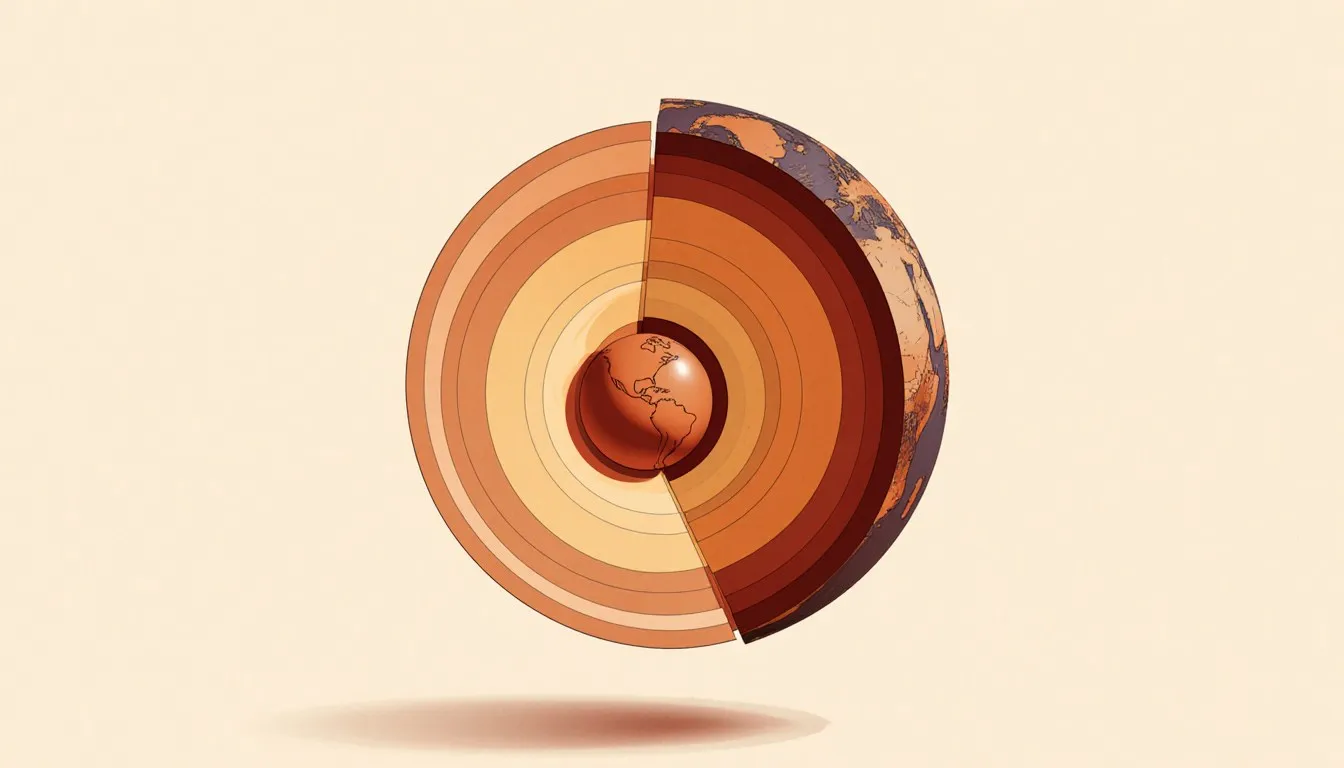
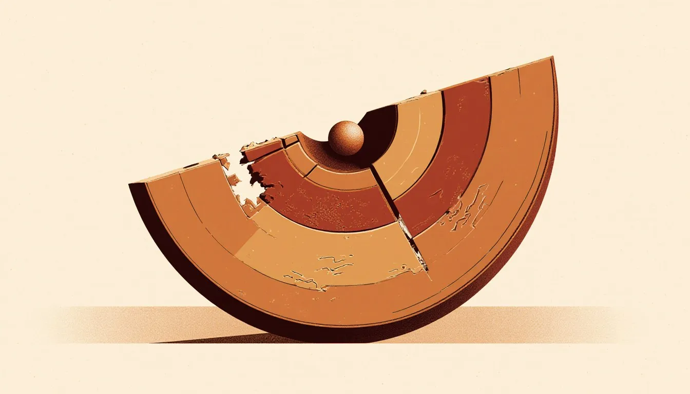
Four main divisions, sorted by density, from a thin rocky skin to a metal ball at the center.
- The crust: the outermost rock, and the thinnest layer by a wide margin. Oceanic crust is thin, dense, young, and basaltic. Continental crust is much thicker, less dense, granitic in bulk composition, and enormously older in places. That density difference decides who wins when two plates collide.
- The mantle: the great bulk of the planet by volume, silicate rock rich in magnesium and iron, extending down to the core boundary at roughly 2,900 kilometers. Solid, but hot enough at depth to creep and flow over geological time.
- The outer core: liquid iron with some nickel and lighter elements mixed in. Its convecting, electrically conducting flow generates the magnetic field that swings your compass needle and deflects a good deal of the solar wind.
- The inner core: a solid iron-nickel sphere at the center, solid despite temperatures thought to rival the surface of the Sun, because the pressure there is high enough to force the atoms into a crystalline lattice anyway.
Now the correction that matters most, because it outlives more science classes than any other: the mantle is not a sea of magma. It is solid rock. It flows, over millions of years, the way a glacier flows while remaining unambiguously solid ice, or the way cold road tar sits there looking like a brick until you leave it under load for a summer. Rate is the whole difference. A material can be rigid on the timescale of a seismic wave, which passes in seconds, and behave like a very stiff fluid on the timescale of a continent, which has millions of years to spare. Both descriptions are correct, and asking which one is “really” true is asking the wrong question.
The analogy has a limit, and it is worth naming. Glacier ice flows because it is near its melting point and recrystallizes readily. Mantle rock flows by solid-state creep, individual crystal defects migrating through the lattice under stress, which is a genuinely different mechanism. The image gets you to the right intuition about rate; it does not describe the physics of the deformation. For the full anatomy of each division, with the depths, the temperatures, and the compositional detail, the complete breakdown of the four main layers of earth is the place to look, and it works downward one boundary at a time.
How did Earth end up with a layered structure?
Gravity sorted it, while the whole planet was hot enough to let material move. The process is called planetary differentiation, and the nearest kitchen version is an oil-and-vinegar dressing settling out on the counter, run at planetary scale over tens of millions of years. The dressing only gets you the first step. Oil and vinegar refuse to mix at all, whereas molten metal and molten silicate separate by a chemical route: the iron-loving elements partition into the metal phase as it melts out, the metal gathers into droplets heavy enough to sink, and those droplets drain toward the center. Density does the moving; chemistry decides what gets moved.
Early Earth got hot from three sources working together. Accretion itself delivered heat: every rock that fell in surrendered its kinetic energy on impact, and the young planet was on the receiving end of a great many rocks. Compression added more as the growing mass squeezed its own interior. And short-lived radioactive isotopes, abundant in the early solar system and long since decayed away, cooked the interior from within.
Once a large fraction of the interior was molten or near it, density took over. Iron and nickel, being dense and unwilling to bond with silicates, sank toward the center and released still more gravitational energy on the way down, which heated things further. The lighter silicate material floated up and became the mantle. The lightest, most silica-rich melts rose highest of all and eventually froze into the earliest crust.
That sorting event is why we get the layers in the order we do, and it is also why the planet still has heat left to spend. Some of the interior warmth is leftover from that violent childhood. Some comes from the ongoing decay of long-lived radioactive isotopes, chiefly uranium, thorium, and potassium-40, which are still ticking away in the mantle. That heat has to escape somewhere, and its route to the surface is what drives everything in the rest of this article. The fuller origin story, from a collapsing cloud of gas and dust to a finished planet, is the subject of how was earth created.
What is plate tectonics, and why is the crust broken into pieces?
Plate tectonics is the theory that Earth’s rigid outer shell is broken into about a dozen large pieces plus a set of smaller ones, and that those pieces move over the hotter, softer material beneath them, carrying continents and ocean floors along for the ride. Everything you can name as a large-scale surface feature, mountain chain, ocean basin, volcanic arc, earthquake belt, is a consequence of that movement.
Now, the sentence that fixes the most common misunderstanding. The plates are not the crust. The plates are the lithosphere, which is the crust plus the uppermost, coolest part of the mantle welded to it, behaving as a single rigid slab. The lithosphere is roughly a hundred kilometers thick under the oceans and thicker under old continental interiors. Below it lies the asthenosphere, mantle rock that is hot enough and close enough to its melting point to be mechanically weak, and it deforms slowly rather than snapping.
The line between them is drawn by behavior. Both are mantle rock of much the same composition, sitting below the Moho; what changes across the boundary is temperature and, with it, strength. This distinction pays real dividends: it explains why plates behave as coherent rigid units that mostly deform at their edges, and why the ocean floor can subduct back into the mantle at all. Cold oceanic lithosphere is denser than the hot asthenosphere it sits on. Give it enough age to cool and thicken and it will sink, given a place to start.
What actually drives the motion is a question that sharpened considerably over the past few decades. The original picture was simple mantle convection: hot material rises, cool material sinks, and the plates ride the top of the conveyor like a box on a belt. Convection is genuinely part of it, and the underlying reason is straightforward, since the planet’s heat has to get out somehow and moving the rock itself is a far more effective transport method than conduction through solid stone.
Two forces do much of the remaining work, and both come from the weight of the plate itself:
- Slab pull: where a cold, dense slab of oceanic lithosphere has begun sinking into the mantle at a trench, its weight drags the rest of the plate along behind it. This is generally regarded as the dominant driver, and the evidence is suggestive: plates with long subducting edges move faster than plates without them.
- Ridge push: new lithosphere formed at a spreading center is hot and sits high. As it moves away and cools, it thickens and subsides, and the resulting slope means the elevated young rock exerts a gravitational push on the plate ahead of it.
Both of those, notice, are gravity converting the planet’s internal heat into horizontal motion. Speeds are on the order of a few centimeters per year, roughly the rate your fingernails grow, which sounds trivial until you multiply by the available time. Geologic time is the multiplier that makes everything in this subject work, and it is the hardest thing to convey in a fifty-minute period. A centimeter a year is a thousand kilometers in a hundred million years. Earth has had forty-five of those hundred-million-year intervals to play with. The theory of plate tectonics sets the mechanics out at length, along with the observational case that pinned the model down.
How did scientists figure out the continents move?
Slowly, and against real resistance, because the idea sounded absurd. For most of the history of geology, continents were assumed to be fixed. Ocean basins and landmasses were permanent furniture; mountains were explained as wrinkles in a cooling, contracting planet, like the skin of a drying apple. That was the mainstream view, and it was not stupid. It just turned out to be wrong.
Alfred Wegener, a German meteorologist and polar researcher, assembled the case against it in the early twentieth century and published his theory of continental drift in 1915. He argued that the continents had once been joined in a single supercontinent, which he called Pangaea, and had since separated. His evidence was circumstantial but it stacked up from independent directions:
- The coastlines of South America and Africa fit together, and the fit improves when you match the continental shelves rather than the shorelines.
- Identical fossil species turn up on continents now separated by whole oceans, including land animals and plants with no plausible way to cross deep salt water.
- Mountain belts and distinctive rock sequences run off the edge of one continent and resume on another, matching in age and structure.
- Glacial deposits and scratched bedrock sit in places that are tropical today, with the ice-flow directions making sense only if those landmasses were once clustered near the pole together.
Wegener’s problem was the mechanism. He proposed that continents plowed through the ocean floor, and physicists correctly pointed out that no known force could do that and the rock would not survive the attempt. His evidence was strong; his engine was impossible. Geology mostly set the whole thing aside, and Wegener died on the Greenland ice sheet in 1930 without seeing it resolved.
The resolution arrived after the Second World War, from the ocean floor, which nobody had properly mapped before sonar and wartime funding made it possible. Surveys found a continuous mountain range running down the middle of the Atlantic, a global system of ridges, and deep trenches at the ocean margins. Magnetometer surveys then found the decisive pattern: stripes of alternating magnetic polarity in the seafloor basalt, symmetrical on either side of a ridge crest, recording Earth’s periodic magnetic field reversals as new rock cooled and locked in the field direction of its moment. And ocean floor turned out to be young everywhere, orders of magnitude younger than the oldest continental rocks. Nowhere on the seafloor is anything like as old as the ancient cratons of the continents.
Put those together and the mechanism Wegener lacked falls into place. The seafloor itself is in motion, the one possibility Wegener’s critics never weighed. New ocean floor is created at ridges and destroyed at trenches, and the continents ride on top of that conveyor. The full historical case, and how thoroughly it was rejected before it was accepted, is told in full in the theory of continental drift. It is one of the better arguments I know for the proposition that a scientific consensus can be both reasonable and wrong at the same time, and that the way it gets overturned is evidence rather than volume.
What happens where two plates meet?
Nearly all the geological drama happens at plate edges, and the type of drama depends entirely on the relative motion. There are three ways two plates can move with respect to each other, and that gives three boundary types.
Divergent boundaries: plates pulling apart
Where two plates separate, the pressure on the mantle below drops. Hot mantle rock rises to fill the gap, and reducing the pressure on hot rock lets it melt without adding any heat at all, a process called decompression melting. That melt rises, erupts, and freezes into new oceanic crust, and the plates carry it away in both directions.
This is the process that builds the mid-ocean ridge system, the longest mountain chain on the planet, almost all of it underwater. On land, divergence gives you rift valleys, of which the East African Rift is the working example, a continent in the early stages of tearing itself in two. Iceland sits astride the Mid-Atlantic Ridge and is one of the few places where you can stand on a divergent boundary in walking boots. The details of what is happening at these seams, with the geometry drawn out, are covered in the facts about divergent plate boundary with diagram.
Transform boundaries: plates sliding past
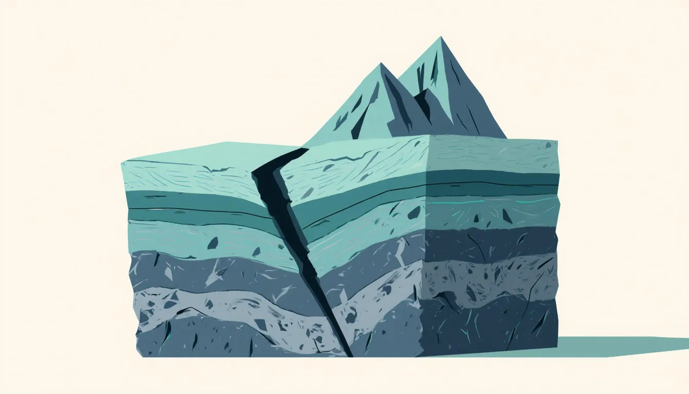
Where plates grind past each other horizontally, no crust is created and none is destroyed. The rock simply moves sideways, and it does not move smoothly. Friction locks the fault surfaces together; stress accumulates in the surrounding rock for years or centuries; the lock eventually fails and the accumulated strain releases as an earthquake.
The San Andreas Fault in California is the standard example, where the Pacific Plate slides northwest relative to the North American Plate. Transform boundaries also occur in enormous numbers as short offsets between segments of mid-ocean ridges, where they are the plumbing that lets a spreading ridge follow the curvature of a sphere. These are the boundaries that produce shallow earthquakes without volcanoes, which is a useful diagnostic when you are looking at a map of where the world shakes. The transform boundary definition examples work through the geometry and the named faults.
Convergent boundaries: plates colliding
Convergence has three outcomes, and which one you get depends on the density of what is arriving.
Ocean meets continent, and the dense oceanic plate subducts beneath the buoyant continental one. The descending slab carries water down with it in hydrated minerals; that water lowers the melting point of the overlying mantle wedge; magma is generated and rises to build a chain of volcanoes on the continent above. The Andes are the textbook result. Note the mechanism, since it is the part people usually miss: water is the trigger, and the melting happens in the wedge of mantle above the slab, roughly a hundred kilometers down, where the released fluid arrives.
Ocean meets ocean, and the older, colder, denser plate goes down. The result is a deep trench paired with a volcanic island arc, of which Japan and the Aleutians are examples. The deepest points in the ocean are subduction trenches, not the middles of the basins.
Continent meets continent, and neither will subduct, because continental crust is too buoyant to be pushed down. So the collision zone crumples, thickens, and rises. The Himalayas are what India colliding with Asia produced, and that collision is still going, which is why the range is still growing and why the region is seismically dangerous over an area far wider than the mountains themselves.
Most of the world’s volcanoes and the great majority of its largest earthquakes occur along the subduction zones ringing the Pacific, the belt known as the Ring of Fire. Draw a map of global earthquake epicenters and you have effectively drawn the plate boundaries. Nothing else on the map explains itself so cleanly.
What landscapes does plate movement build?
Every large landform you have ever looked at was assembled or torn apart by one of the processes above, then carved by water and ice afterward. Two examples make the point better than a catalogue.
The Mid-Atlantic Ridge is a mountain range running roughly 16,000 kilometers from near the Arctic to the far South Atlantic, and it is the seam where the Atlantic Ocean is still being manufactured. North America and Europe are moving apart along it at a few centimeters a year, which means the Atlantic is wider today than when Columbus crossed it, by roughly the length of a school bus. The relief is real topography: the ridge crest stands two to three kilometers above the abyssal plains on either side, with a rift valley running down its axis. There is a separate account of how was mid atlantic ridge formed, tracing the ridge back to the breakup of Pangaea.
Fault-block mountains are the other flavor, and they form by a different mechanism. Where the crust is being stretched, it breaks along steep normal faults, and the blocks between the faults respond by tilting: one side drops, the other rises, producing a range with a steep face on one flank and a long gentle slope on the other. The Basin and Range province of the American West is stretched and shattered into dozens of these, and the Sierra Nevada presents its abrupt eastern escarpment for exactly this reason. Once you know the signature, a steep straight range front on one side and a long tilted back slope on the other, you will spot it from a car window. For the faulting geometry drawn out step by step, see how are fault block mountains formed.
The general lesson is that the surface is a balance between two competing budgets. Tectonics builds relief; erosion by water, ice, and gravity destroys it. Mountains exist wherever construction is currently outpacing demolition. Old, worn ranges like the Appalachians are what you get when the construction stopped hundreds of millions of years ago and the demolition crew kept working.
Where does water fit into a story about rock?
The structure of the solid Earth also governs where water goes, which is the connection that turns two school subjects back into one planet. The crust’s composition, its fractures, and its tectonic history decide which rocks hold water, which transmit it, and which dissolve.
Start with where the water actually sits. About 97 percent of it is salt water in the ocean basins, and those basins exist because plate tectonics manufactures dense, low-lying oceanic crust in the first place. Of the small freshwater remainder, most is locked up as ice, and the liquid fresh water left over is overwhelmingly underground rather than in lakes and rivers. That last number surprises a class every time, because rivers are the part you can see.
Rock decides where the underground share goes. Rain soaks down until it meets material it cannot pass through, then fills the pore space above, and the top of that saturated zone is the water table a well has to reach. Sandstone holds water in the gaps between its grains and gives it up readily; unfractured granite has almost no pore space and will not fill a bucket, whatever the rainfall above it. Water travels vertically too, and much further than a well: locked into hydrated minerals, it rides a plate down a subduction zone and comes back out through a volcano, so the ocean and the mantle have been trading the same water for billions of years. For the full accounting of what is hydrosphere why is it important, there is a companion survey of the whole system.
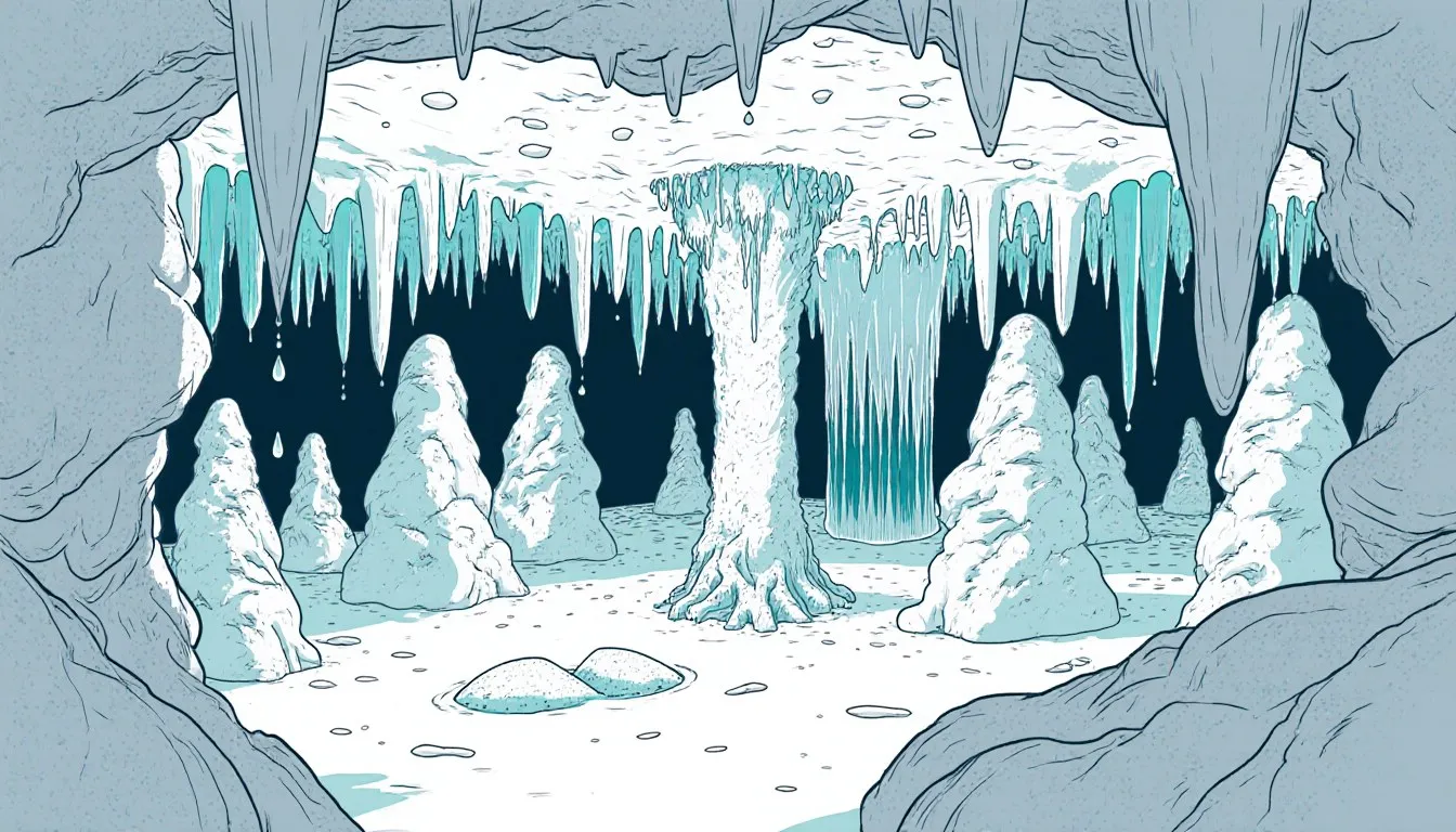
Closer to home, the chemistry: rainwater picks up carbon dioxide from the air and the soil, becomes weakly acidic, and dissolves limestone. Given enough time, that reaction hollows out the bedrock from within. The resulting voids are limestone caves when you can walk into them, and sinkholes when the roof of one gives way and the surface drops. Both are cases of the same slow reversible reaction working on rock that plate tectonics placed there in the first place, since most limestone started as marine sediment on a seafloor that has since been lifted into daylight. Two companion pieces carry that chemistry further: the science behind formation of sinkholes, for the collapse, and how are limestone caves formed, for the void that does the collapsing. The growth rates are slow enough to be worth a number. A stalactite typically lengthens on the order of a tenth of a millimeter a year, so a meter of one represents something like ten thousand years of drips arriving on the same spot.
Why does any of this matter to someone standing on the surface?
Because the engine is still running, and its output arrives on human schedules even though its mechanism runs on geological ones.
Earthquake hazard maps are plate tectonics applied. Agencies such as the U.S. Geological Survey base seismic hazard assessments on known fault systems and their histories, and building codes in California, Japan, and Chile are written against that understanding. Volcanic monitoring works the same way: knowing that a volcano sits above a subduction zone tells you a great deal about what kind of eruption to expect from it, because the water-rich magmas produced there behave very differently from the runny basalt of a Hawaiian lava flow. Where the metals and hydrocarbons are found is a tectonic question too, since ore deposits concentrate at particular kinds of boundaries and oil accumulates in basins that tectonics created.
Then there is the long view, which I think is the more valuable thing to carry out of this. Every world map ever printed is one frame of a very long film. The Atlantic is opening, the Pacific is closing, East Africa is splitting, the Mediterranean is being squeezed shut as Africa presses north, and the Himalayas are rising while a river system saws them back down. Every one of those is a process you can measure with GPS right now, this year, in centimeters. Give the same processes a hundred million years and the map is unrecognizable, and it has already been unrecognizable many times over.
What holds the whole picture together is the chain from the inside out. Radioactive decay and leftover accretion heat warm the interior. That heat drives slow convection in the mantle. Convection and the weight of cold sinking slabs move the rigid plates. Moving plates open oceans, build mountains, feed volcanoes, and set off earthquakes. And the layered structure that makes all of it possible was set in place by density sorting during the planet’s first few tens of millions of years. Pull out any link and the surface world you can see stops making sense.
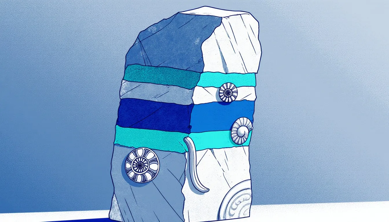
Next time you are on a beach with pebbles worth examining, look for the layered ones and the ones full of shell fragments. Ask where that rock was when it formed, because if it holds marine fossils and you are standing well above sea level, something lifted it. Then work out what. That question, asked patiently enough, is most of geology.
Nora Whitfield
Staff Writer
Nora Whitfield taught high-school chemistry and physics for twenty-eight years, and she has never once answered "when will I use this?" with a sigh. She believes any honest question about how the world works deserves an answer that is both correct and actually understandable.