
The World’s Ecosystems Sort Themselves by Temperature and Rainfall
The types of ecosystems on Earth fall out of two dials: temperature and rainfall. Here’s the working map of terrestrial and aquatic ecosystems.
An ecosystem’s type is set mostly by two numbers: how warm a place is, and how much water lands on it. Nearly everything else follows from those two. They shape the soil that develops, the light that reaches the ground or the seafloor, and the chemistry of the water. Above all, they set which organisms can make a living there year after year. That is why a coral reef off Belize and a cornfield in Iowa share almost nothing but sunlight. Warm, clear, salty water held near a steady temperature builds one biological community. Cold winters, deep glacial soil, and something under a meter of rain a year build a completely different one.
What follows is a working map rather than a list to memorize: the major land and water categories, what physically sorts one from the next, and where the boundaries blur. Once you can read the two dials, you can walk into a landscape you have never seen and make a decent prediction about what lives there before you spot a single animal.
What actually makes one ecosystem a different type from another?
The abiotic factors come first and the biotic community is the response. Temperature and precipitation are the master controls because between them they decide two things every living thing needs: whether water is available as a liquid, and how long the season is in which anything can grow. The same two dials shape everything downstream. That means soil depth and chemistry, how much light gets through, and how fast dead material rots.
Temperature governs the pace of biological chemistry. Enzyme reactions speed up as things warm, so a beetle in Costa Rica lives faster than the same-sized beetle in Manitoba, and the microbes in tropical soil chew through a fallen leaf in weeks rather than years. Temperature also decides how many days a year a plant can photosynthesize at all. Precipitation decides how much plant tissue gets built during those days. Add up the tissue built per square meter per year and you have net primary production, the energy budget that everything else in the place has to live on. High water plus high warmth gives you the largest budget on land. Take away either one and the budget collapses. It collapses into different shapes, though. Cold and wet gives you a bog. Warm and dry gives you a desert.
Think of climate as a job posting the site puts out. It specifies the hours, the working conditions, and the pay, and only certain applicants can meet the terms. Every organism you find in a tundra or a mangrove swamp is an applicant who took the job. The analogy breaks down at one important spot, and it is worth knowing where: organisms edit the posting. A mature rainforest recycles a large fraction of its own rainfall back to the atmosphere through transpiration, so the forest helps keep itself wet. Beavers turn a running stream into a pond and change its type outright. Coral polyps build the rock structure that defines a reef. The dials set the terms, and the tenants renegotiate them.
Local abiotic conditions then do the fine sorting. Two sites in the same climate band can hold different communities because one sits on limestone and the other on granite, or because one drains and the other floods, or because one faces the sun and the other faces away. In water, the sorting variables change identity but not their job: salinity, depth, light penetration, dissolved oxygen, and how fast the water moves.
Ecosystem, biome, or habitat: are these the same thing?
No, and the three words sit at different scales. A habitat is the address of a particular species, the place a wood frog or a saguaro actually lives. An ecosystem is a specific place plus everything living in it plus the nonliving conditions. You treat the whole thing as one working unit. Energy flows through it and nutrients cycle inside it. A biome is a category, a class of ecosystems that look and function alike wherever on Earth they turn up.
Size is not what makes something an ecosystem. A rotting log with its fungi, springtails, and beetles qualifies. So does a farm pond, a salt marsh, and the entire Congo Basin. What qualifies a unit is that you can draw a boundary around it and account for the energy coming in and the matter cycling around inside. Ecologists choose the boundary to suit the question. A lake can be one ecosystem for a nutrient study and a dozen for a study of shoreline plants. Nest all of them together and you get the biosphere, the single thin film of living Earth. If you want the ladder laid out rung by rung, from organism to population to community upward, the levels of organization in ecology have a piece of their own.
The confusion worth clearing up is treating biome and ecosystem as synonyms. A biome is a bin; an ecosystem is a thing sitting in the bin. The Amazon and the Congo are two ecosystems in one biome, and they share a structure without sharing a species list. This is why unrelated plants in different hemispheres often end up looking like siblings. A saguaro in Arizona and a tall spiny euphorbia in southern Africa have similar silhouettes, water-storing tissue, and no close family relationship at all. The desert wrote the same job posting on both continents and two different lineages applied.
The term itself is usually credited to the British ecologist Arthur Tansley, who put it into print in the mid-1930s; by the standard telling, the word was suggested to him by his colleague Roy Clapham. What Tansley was arguing for still matters: he wanted the living community and its physical surroundings studied as one system, not as a cast of characters against a backdrop.
How do scientists sort ecosystems into types in the first place?
They draw the boundaries where the vegetation changes, then check which climate numbers those boundaries correspond to. Wladimir Köppen, a botanist who moved into climatology, built his climate classification in exactly that spirit. He picked his temperature and rainfall thresholds because plant communities changed across them. Modern climate maps still carry his letters. Robert Whittaker later drew the relationship as a plot, and it has been in ecology textbooks ever since. Mean annual temperature runs along one axis and mean annual rainfall along the other. The world’s major biomes hold distinct territory on the chart. Give the plot a temperature and a rainfall figure and it hands back a biome.
The rough thresholds are worth carrying in your head, with the warning that different schemes place them differently:
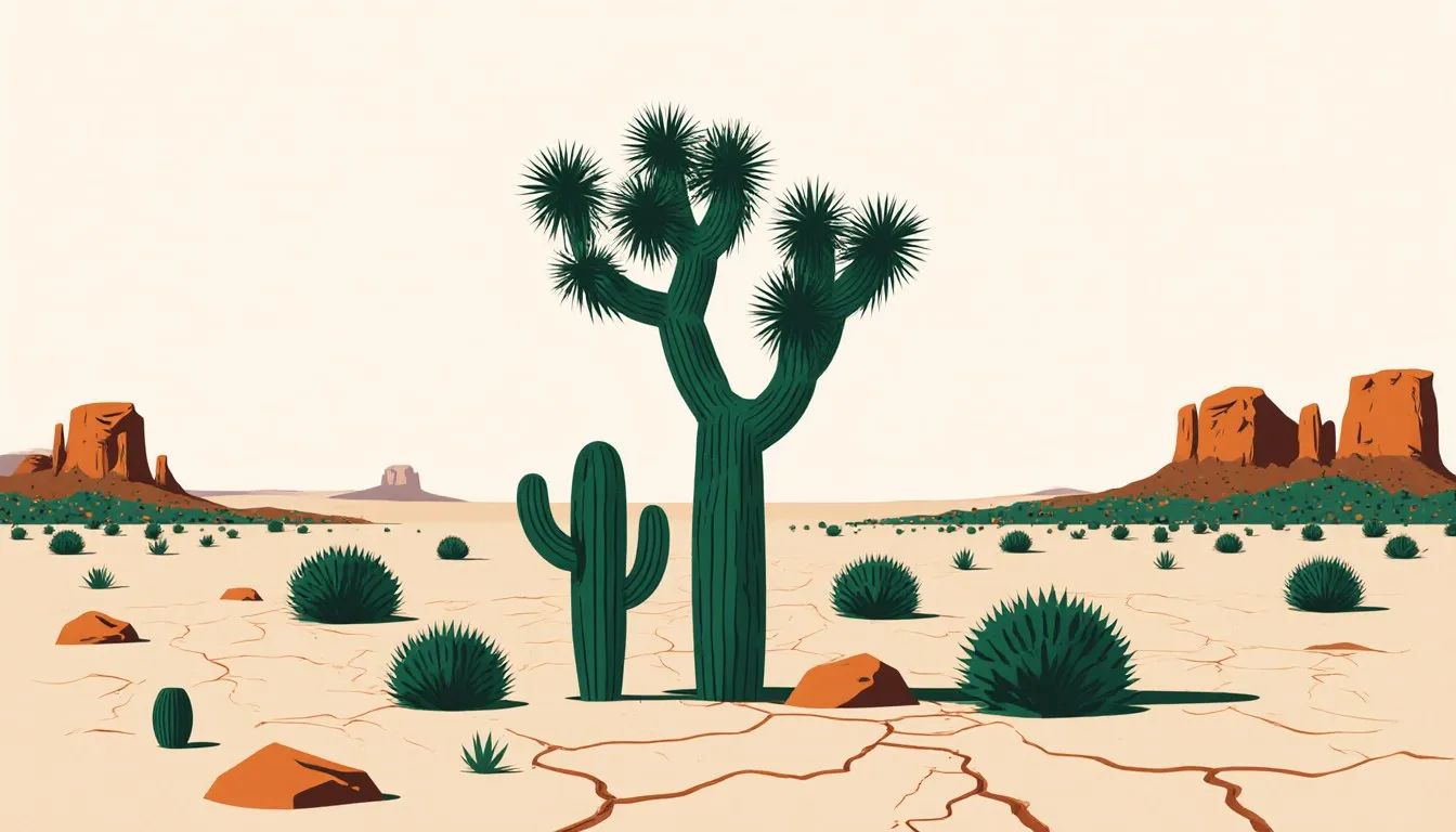
- Under about 250 mm (10 in) of precipitation a year: desert, whether it is scorching or frozen. Cacti, deep-rooted shrubs, seeds that wait out the dry years.
- Roughly 250 to 1,000 mm (10 to 40 in), with a dry season: grassland and savanna. Deep-rooted grasses, scattered fire-tolerant trees, large grazing animals.
- Above about 1,000 mm (40 in) in a place with a real winter: temperate deciduous forest. Broadleaf trees that drop everything in autumn.
- Wet, and cold for most of the year: taiga, the boreal conifer belt. Needles, acidic soil, slow decay.
- Cold, dry, and underlain by permafrost: tundra. No trees, ground-hugging plants, a growing season measured in weeks.
- Above roughly 2,000 mm (80 in) and warm year-round: tropical rainforest. Layered canopy, the highest species counts on land.
Check your units before you argue with any of those numbers, because 250 mm and 10 inches are the same threshold and I have watched a lot of otherwise good lab reports die on that hill.
Two honest caveats. First, the boundaries are transition zones, not lines. Ecologists call them ecotones, and they can be tens of kilometers wide, which is why the prairie does not stop at a fence post but thins into oak savanna and then into forest. Second, the number of biomes you get depends on who is counting. An introductory textbook may use five broad categories. The World Wildlife Fund, mapping for conservation work, uses fourteen land biomes and hundreds of finer ecoregions. None of them is wrong. Each is cut at the resolution its job requires. A road atlas and a survey map disagree the same way about how much detail a coastline needs.
On land there is a third dial, and it is soil. Two sites can share a climate down to the millimeter and still grow different forests, because soil does not follow from temperature and rainfall alone. Parent rock, slope, drainage, and time all shape what develops. Climate still dominates at continental scale, which is why the two-dial version predicts as well as it does.
What are the world’s major land (terrestrial) ecosystems?
Six categories cover most of it: tropical rainforest, savanna and grassland, desert, temperate deciduous forest, taiga, and tundra, with mountains stacking several of those onto a single slope. They arrive in that order as you travel from the equator toward the poles, and in the same order as you climb, because both journeys do one thing: lower the temperature and shorten the growing season. Land is only about 29 percent of Earth’s surface, and that fraction holds nearly every biome name a reader can produce from memory. A drive from Sonoran desert to Arctic tundra crosses most of them, which is why the biomes of North America make a good first tour.
Forests, sorted by how long the water and warmth last
Forests happen wherever there is enough water for a plant to justify the expense of a trunk. Wood is costly, and a tree only wins the investment back by holding its leaves above the competition for years. Where warmth and rain never let up, you get tropical rainforest: multiple layers of canopy, epiphytes growing on branches because the floor gets almost no light, and the highest biodiversity of any land ecosystem. The great misconception here is that all that lushness means rich soil. It does not. Heavy rain leaches nutrients downward and the constant warmth lets decomposers work year-round, so most of the nutrient stock is locked in living tissue rather than in the ground, and a cleared plot can go poor in a handful of seasons. The tropical rainforest biome plants and animals deserve their own roll call, so I will leave the species list to that one.
Give the same forest a cold season and the accounting changes. In the temperate zone, water freezes for months and a broad leaf becomes a liability, so the trees drop the whole apparatus and rebuild it in spring. That single strategy produces the seasonal rhythm of the deciduous forest biome and also a deep, dark, fertile soil, because leaf litter piles up faster than cold-slowed microbes can process it. Push north again and the winters get too long to rebuild leaves annually at all. Conifers switch to needles: waxy, freeze-resistant, kept for several years, and able to start photosynthesizing the moment temperatures allow. That belt of spruce, fir, pine, and larch across Canada, Scandinavia, and Siberia is the taiga, a forest belt that runs almost unbroken around the top of the world, and the taiga biome animals and plants that stay through the winter make a short list: the ones that cache food, the ones that sleep through it, and the ones that can live on needles.
Grasslands and savannas, where the trees are held back
Grasslands sit in the middle of the moisture range, wet enough to grow a dense sward of grass and too dry, or too disturbed, for a closed canopy. The common assumption is that a prairie is a forest that has not gotten around to growing yet. That is not how these systems work. Fire and large grazers actively maintain them. Grasses grow from the base of the leaf rather than the tip, so being burned or bitten off costs them far less than it costs a tree seedling, and they invest a huge fraction of their biomass underground, where a fire cannot reach it. Suppress fire for a few decades in a tallgrass prairie and woody plants move in. The savanna is the tropical version, defined by a sharp wet and dry season and by scattered trees that survive both. The mechanics of that balance sit behind the standard savanna biome facts, where the limiting factors in savannas are water through the dry months and fire once the grass cures. The temperate systems run the same logic without the monsoon, and their grassland biome animals and plants are built for open ground and long sightlines.
Deserts, defined by the water budget rather than the heat
A desert is a place where evaporation would exceed precipitation, which is a statement about water accounting and says nothing about temperature. The Sahara is a desert. So is the Gobi, which freezes. So, by this definition, is most of Antarctica, whose interior receives almost no precipitation at all. The other durable misconception is the sand. Dunes are photogenic but they are a minority of desert surface even in the Sahara; gravel plains, bare rock, and stony pavement cover far more. Desert organisms solve one problem in many ways: store water (succulents), avoid the heat (nocturnal rodents, animals that spend the day underground), or skip the bad years entirely as a seed or a dormant egg waiting for rain that may not arrive for a decade. Those adaptations are catalogued among desert biome animals and plants, and the arithmetic behind the scarcity sits with the limiting factors in a desert ecosystem: water first, then the heat that spends it.
Tundra, where the ground itself sets the limit
North of the treeline, and above it on high mountains, the constraint stops being the air and becomes the soil. Permafrost, permanently frozen ground, sits below a thin surface layer that thaws each summer. Roots cannot penetrate it, water cannot drain through it, and so the tundra is both waterlogged in summer and technically arid in terms of precipitation. Plants stay low, where the boundary layer of still air near the ground is a few degrees warmer and the wind cannot strip them. Decomposition nearly stops in the cold. So tundra soils have piled up a huge store of undecayed carbon over thousands of years. What happens to that store as the Arctic warms is a live research question, not a settled one. The rest of the tundra biome facts concern that thin surface world: lichens, cotton grass, caribou passing through, and a few summer weeks of insects thick enough to move a herd.
Mountains, which stack the other types on top of each other
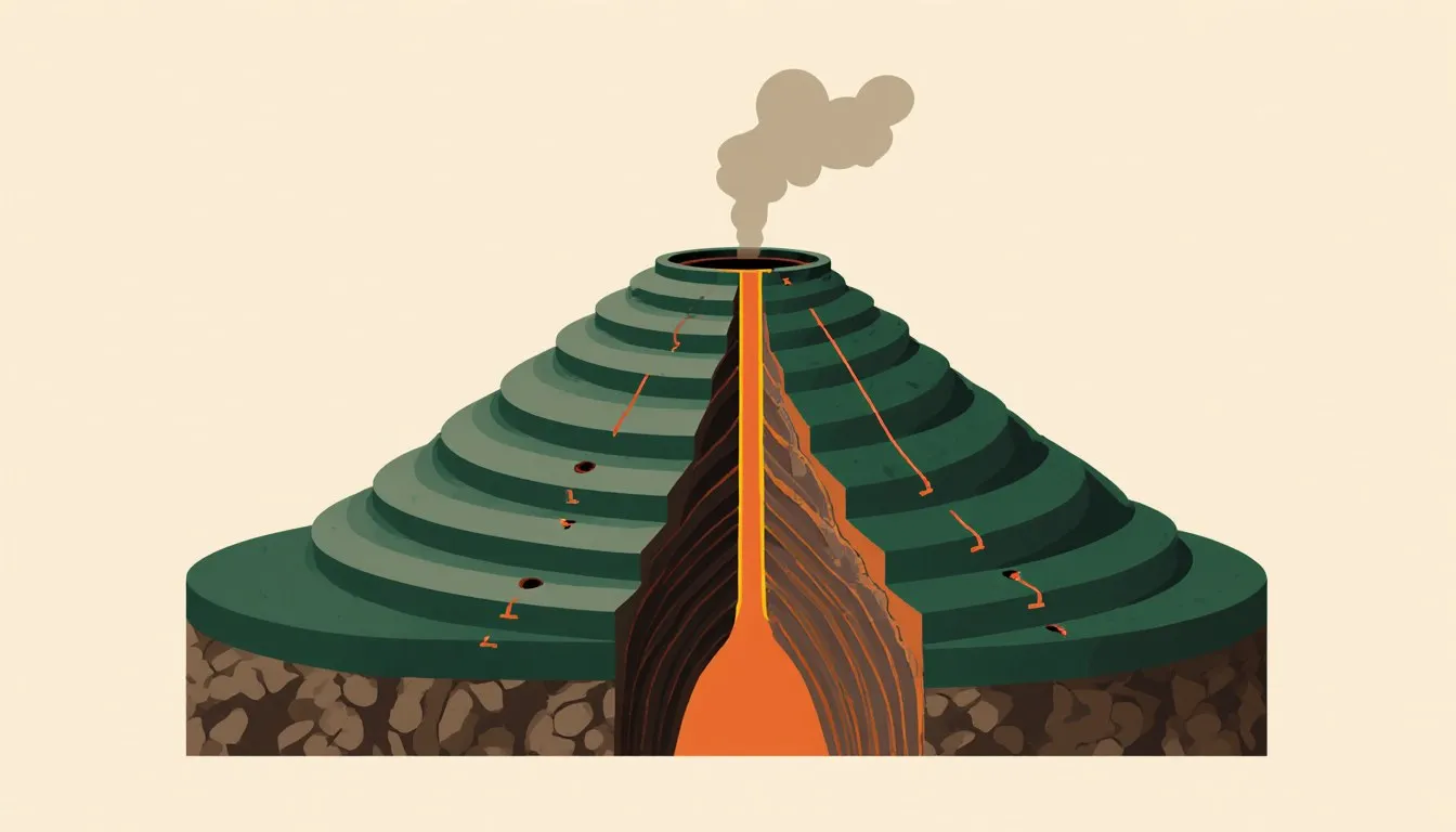
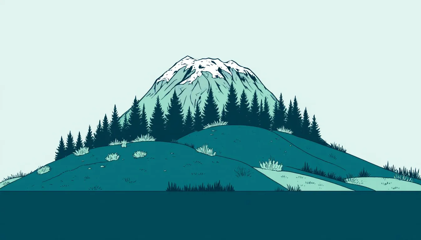
A mountain is less a biome than a compressed tour of several. Air cools as it rises, so climbing a thousand meters does roughly what traveling hundreds of kilometers toward the pole does, and a single Andean or Himalayan slope can run from tropical forest through cloud forest and conifer belt to alpine tundra and permanent ice. Two things make mountains their own case. Slopes facing the sun and slopes facing away can hold different communities within sight of each other, and mountains block weather: the windward side gets the rain, the leeward side gets a rain shadow, which is how deserts end up sitting immediately downwind of some of the wettest places on Earth.
What sets freshwater ecosystems apart from the land around them?
Fresh water is defined by what is missing: dissolved salt, conventionally under about 0.5 grams per kilogram of water, against roughly 35 in seawater. It is also scarce. Only a small percentage of Earth’s water is fresh at all, and most of that is locked in ice sheets and groundwater, leaving lakes, rivers, and wetlands as a startlingly thin slice of the planet’s water holding a disproportionate share of its species.
The first sorting variable is whether the water moves. Flowing systems (rivers and streams) get a constant resupply of two things. Turbulence brings them oxygen, and the land they drain brings them food. A forested headwater stream runs largely on fallen leaves rather than on its own algae. Everything living there has to solve the same problem, which is not being swept away: mayfly larvae flatten themselves against rock undersides, trout hold station in the slack water behind boulders, and rooted plants only get a foothold where the current eases. Rivers also rebuild their own container through erosion and deposition, so the ecosystem edits its own physical structure on a timescale of floods. The U.S. Geological Survey maintains a network of stream gages across the country for exactly this reason: discharge is the variable that drives most of the rest.
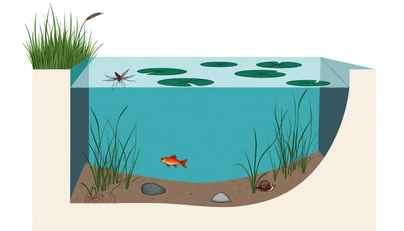
Still waters sort by depth, which really means by light. In a pond, sunlight reaches the bottom across most of the basin, so rooted plants can grow throughout and the whole water column participates in photosynthesis. In a deep lake, light runs out partway down and the lower water becomes a place where organic matter is consumed rather than produced. Temperate lakes stratify in summer into a warm surface layer over a cold dense bottom layer, with a sharp transition between, and the two do not mix while the layering holds. In spring and fall, surface temperatures pass through the density peak of water near 4 °C. The whole lake then overturns, carrying oxygen down and nutrients up. That turnover is the event the following season’s productivity depends on. Anyone curious about how a small still-water system runs its year will find a pond ecosystem the clearest small case, and the wider freshwater biome facts play out the same way at the scale of a Great Lake.
Wetlands, the marshes, swamps, bogs, and fens, sit in the seam between water and land, and their defining feature is saturated soil. Waterlogged ground runs out of oxygen, decomposition slows to a crawl, and partly decayed plant material accumulates as peat. That makes wetlands major carbon stores. It also makes them fine water filters, because sediment settles out and plants take up nutrients as the water creeps through. They are also, historically, the ecosystem type humans have drained most aggressively.
How are marine ecosystems different from freshwater ones?
Salinity and depth are the two dividing lines. Seawater averages around 35 grams of dissolved salt per kilogram, which means every organism in it faces a constant osmotic problem: water is always trying to leave its cells for the saltier surroundings. Marine bony fish drink seawater and pump the salt back out. Freshwater fish have the opposite problem, so they make a lot of dilute urine to shed the water flooding in. That physiological difference is why relatively few species cross between the two, and why the ones that do (salmon, eels) put their bodies through a substantial rebuild to manage it.
The place where the two mix is the estuary, where a river meets the sea. Estuarine salinity swings with the tide and the season, so residents have to tolerate a moving target rather than a fixed one, and the species list is short compared to either neighbor. The productivity is not. Rivers deliver sediment and nutrients, the shallow water is well lit, and salt marshes and mangroves are among the most productive systems anywhere, which is why estuaries function as nurseries for a large share of coastal fish and shellfish.
Depth does the rest of the sorting. Enough light for photosynthesis reaches roughly the top 200 meters of the open ocean, and that sunlit layer is where essentially all the ocean’s plant growth happens, almost entirely by phytoplankton drifting in the water rather than by anything rooted. Below that, light fades through a twilight zone and then goes out for good. The deep sea runs on what falls from above: the slow rain of dead organisms and waste that biologists call marine snow. Deeper still, along the mid-ocean ridges, hydrothermal vent communities skip sunlight altogether. Bacteria there oxidize hydrogen sulfide from the vent fluid to build organic matter, and tube worms, crabs, and clams live on that chemistry. Vents were only discovered in the late 1970s and they rewrote what an energy base for an ecosystem could look like. The deepest trenches reach close to 11 kilometers, and there is life at the bottom of them.
The surface ocean is not uniform either. Nutrients sink, so the open middle of the great subtropical gyres is clear blue and biologically thin, closer to a desert than to anything lush. The productive places are where deep water comes back up: coastal upwelling zones off Peru, California, and Namibia, which support a large share of the world’s fisheries on a small share of its ocean area. Nearer shore, kelp forests build three-dimensional structure out of algae that can grow astonishingly fast in cold nutrient-rich water, and coral reefs build theirs out of limestone.
Reefs deserve their own note because they run on a partnership. Coral polyps host photosynthetic algae, zooxanthellae, in their tissues; the algae supply most of the coral’s energy and the coral supplies shelter and nutrients. That arrangement only works in warm, clear, shallow water, and it is why reefs are confined to a band around the tropics and why sediment or a few weeks of unusual heat can break it. When the partnership fails, the coral expels the algae and bleaches white. Reefs cover a small fraction of the seafloor and are widely credited with hosting something like a quarter of all marine species, which is the sort of concentration that makes reef loss disproportionate. Understanding an ocean ecosystem means reading it zone by zone, from the sunlit surface to the trench floor, and the marine biome facts that matter most are the ones about depth, light, and where the nutrients come back up.
Are there ecosystems people built or reshaped?
Yes, and they qualify on the same terms as any other: energy flows through them, nutrients cycle, populations interact. A wheat field has producers, consumers, and decomposers. What distinguishes agricultural and urban systems is that they are held in place by continuous outside subsidy. A cornfield receives fertilizer nitrogen that no local process fixed, water that may have come from an aquifer or another watershed, and enough mechanical energy to suppress every plant that is not corn. Stop all of it for five years and the field starts converting itself into something else, which is the plainest demonstration of succession you can point to; what it would eventually become, and whether such an endpoint really exists, is the question behind the idea of a climax community, with examples that argue in both directions.
Cities are stranger. They import nearly all of their food and energy. They run several degrees warmer than the countryside around them, because dark surfaces and masonry store the day’s heat. And they gather species mixtures that never occurred together before: pigeons from Mediterranean cliffs, sparrows and starlings moved across oceans on purpose, raccoons and coyotes that found urban life congenial, peregrine falcons nesting on tall buildings because a skyscraper ledge is a serviceable cliff with a reliable pigeon supply. Ecologists study these as novel ecosystems, meaning assemblages with no historical analog. They are young, they are expanding, and there is no reason to think they follow the rules the older categories do, which is why the two-dial climate logic explains them least well of anything on this page.
Why bother classifying ecosystems at all?
Because classification is a prediction engine. Knowing a site’s type tells you roughly what its productivity should be, how fast dead material should decompose, what its soil should look like a meter down, and which species you have a reasonable chance of finding. Conservation planning runs on this. Protecting a large area of one biome does nothing for the species that live only in another, which is why organizations map ecoregions in such detail. A park system is only as good as the range of types it actually samples.
The classification also gives you a way to detect change, because the boundaries move. Since the categories are pinned to temperature and precipitation, shifting climate shifts the map: treelines creeping into tundra, shrubs advancing across the Arctic, fire regimes changing where grassland meets forest, coral bleaching as the warm-water band shifts and stretches. A boundary that moves is measurable in a way that vague statements about disruption are not, and that is precisely why ecologists watch ecotones so closely. They are where the change shows up first.
The everyday payoff is smaller and more satisfying. Once you know the two dials, landscapes stop being scenery and start being evidence. Cottonwoods in a dry country mean water at shallow depth. A hillside with grass on the south face and fir on the north face is telling you how much difference a few degrees of sun angle makes to a seedling. The stripe of different vegetation along a road cut is a soil story. Pick whichever type is out your own window and go look at where it ends, because the edge always explains more than the middle does.
Nora Whitfield
Staff Writer
Nora Whitfield taught high-school chemistry and physics for twenty-eight years, and she has never once answered "when will I use this?" with a sigh. She believes any honest question about how the world works deserves an answer that is both correct and actually understandable.