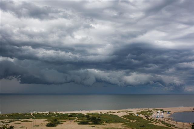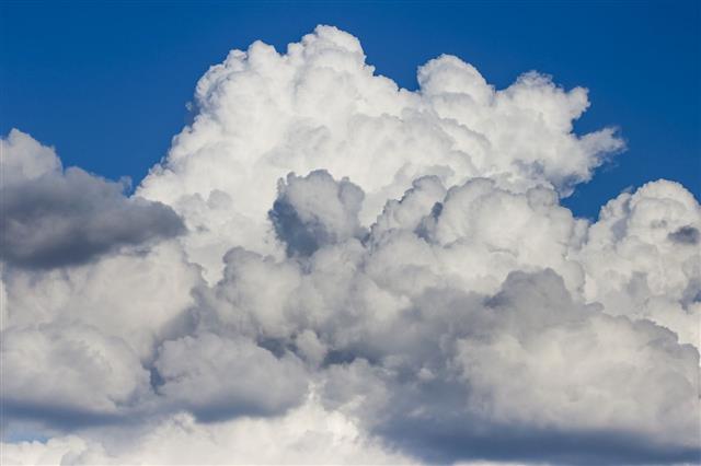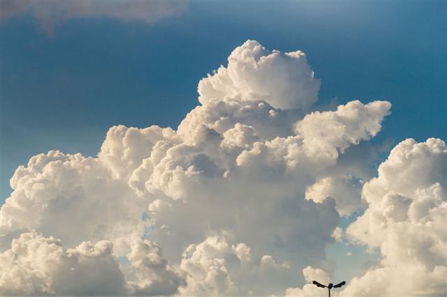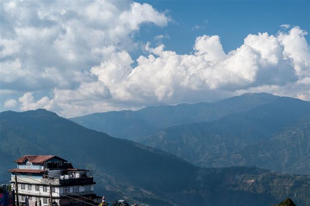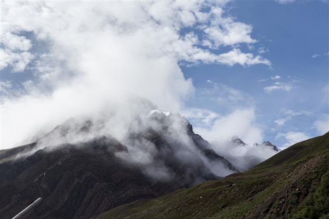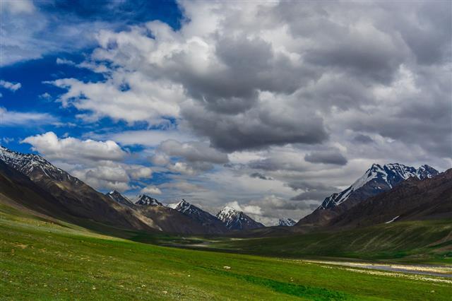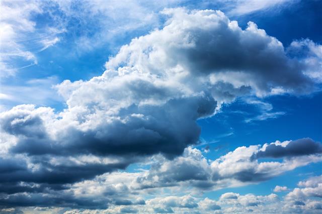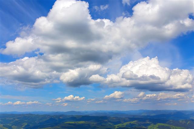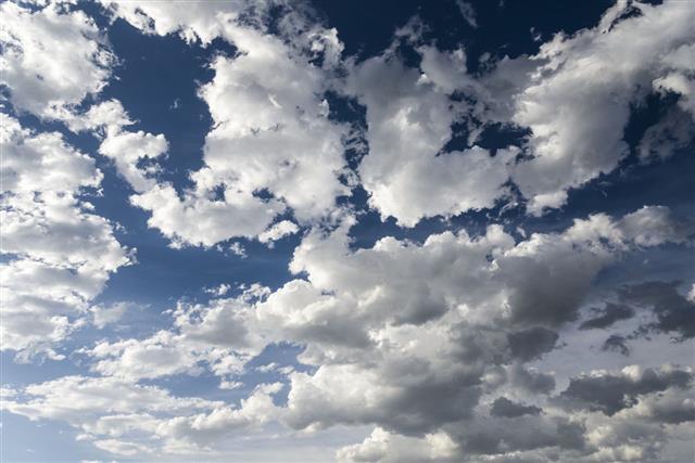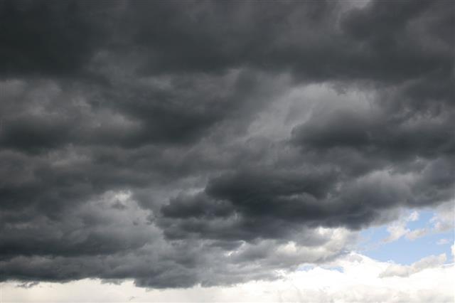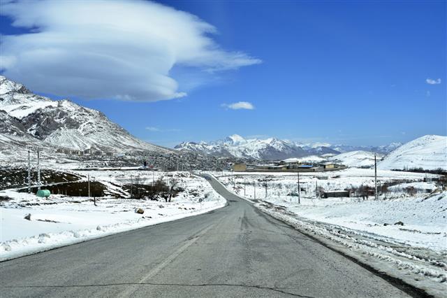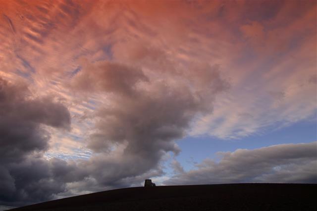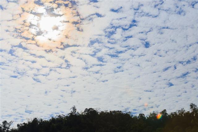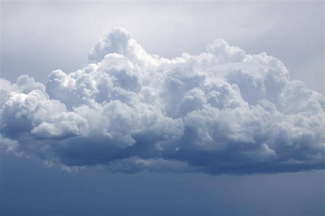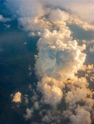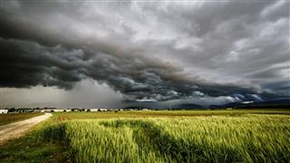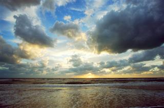
Roll clouds, a type of arcus clouds, have a tumbling appearance when observed in the sky. We provide some information about this unusual weather phenomenon.
Did You Know
A roll cloud indicates that a microburst, or a strong downdraft of wind may be occurring in the atmosphere.
What are Roll Clouds?
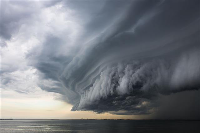
A roll cloud is a rare type of arcus cloud (low-level, horizontal formation of a cloud), characterized by a long, tubular appearance. These clouds look as if a tornado is rolling along a horizontal axis.
What Causes Roll Clouds and How They Form
Their formation is generally associated with the outflows of cold air from sea breezes or cold fronts in the absence of thunderstorms.
At times, they form along with storms, that is from the downdraft of cool air in a storm. Warm and moist air on the surface is raised to higher altitudes due to the sinking cold air. Here, the moisture condenses, thus forming clouds. Air currents coming from the storm cause the cloud to roll parallel to the horizon. However, roll clouds are not attached to the bulk of the storm.
Interesting Facts
➺Arcus clouds are of two types; roll clouds and shelf clouds. They are different from each other as roll clouds are completely detached from a parent storm cloud or other cloud features.
➺ The rolling appearance of roll clouds is due to the fact that they are continuously formed at the leading edge and continuously eroded at the trailing edge. These clouds seem to be rolling backwards when observed. Moreover, their rolling movement is the outcome of winds that alter their speed or direction at the inversion, leading to warm air above the cool air, over which the disturbances caused by weather conditions travel.
➺ A roll cloud is also referred to as a solitary wave having a single crest and traveling without change in speed or motion.
➺ They often make their appearance in coastal areas, forming as a result of the circulation of sea winds. Coastal regions of Australia, Lithuania, Eastern Russia, the North Sea coast, and California are some places where roll clouds occur. They are not limited to coastal areas but that’s where they are commonly observed.
➺ They appear just like tornadoes or rather ‘horizontal’ tornadoes. Due to this, they are often thought to be producing tornadoes. However, that’s not true. They do not produce tornadoes and are also not related to them in any way.
➺ Roll clouds are not considered to be dangerous (though they look threatening at times), and generally form in calm weather conditions due to sea breezes. However, in very rare cases, they may be associated with thunderstorms.
➺ Roll clouds can last for many hours and extend far into the distance, depending on atmospheric conditions.
➺ A Morning Glory cloud is a very rare phenomenon that Queensland witnesses. It can be observed in the month of October. It refers to the formation of a cloud that can stretch up to 1,000 kms long, 1 to 2 kms high, usually about 100 to 200 m above the ground, and has a speed of about 60 km/hr. Usually, a single cloud is observed. Sometimes, eight consecutive clouds can be observed as a part of this phenomenon.
