Through this ScienceStruck article, we intend to provide some information on cumulus clouds to make you familiar with this cloud type.
Our knowledge about clouds is most often restricted to the fact that it is one of the most important stages of the water cycle on the planet. We do find these clouds coming in various shapes and sizes interesting, but seldom do we put in efforts to gather more information about the various types of clouds, or their fascinating attributes for that matter.
Cumulus Clouds
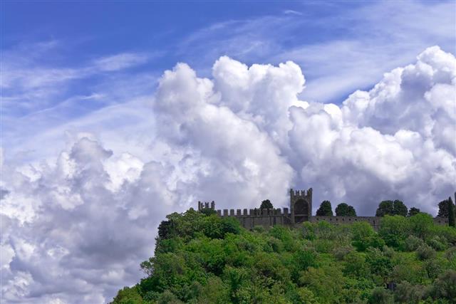
Cumulus clouds are thick fluffy clouds, with a flat base. Basically, water vapor starts condensing at a particular altitude, and as it rises further, it tends to drift upwards in the Earth’s atmosphere, which gives these clouds their characteristic fluffy appearance with a flat base. They start forming at a very low altitude, sometimes as low as 300 to 350 feet, but have the ability to cover a significant vertical distance, which gives them a gigantic appearance.
How do these Clouds Form?
Like any other cloud type, even cumulus clouds form as a result of condensation of water vapor above the surface of the Earth. They are formed as a result of the process of convection, wherein warm air rises in the atmosphere and eventually cools down. This cooling takes place at a rate of 10°C per km. As the warm air cools, the invisible water vapor present in it condenses to form liquid cloud droplets. The entire process depends on a range of factors, including the prevailing weather conditions and the amount of moisture in the air. In fact, more the amount of moisture in the air, lower is the cloud base, as condensation occurs at a lower altitude.
Types of Cumulus Clouds
Basically, these clouds are characterized by prominent vertical development. However, there are certain traits which differentiate one cumulus cloud type from the other. Cumulus congestus may either form in rows or as individual clouds with a resemblance to a cauliflower. They do have the tendency to cause showers, however, in most of the cases these clouds go on to form cumulonimbus clouds. Clouds with lower vertical extent are generally referred to as Cumulus humilis.
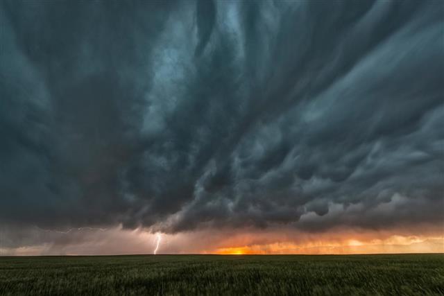
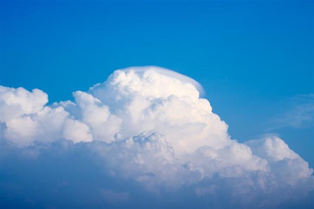
On the other hand, clouds which display a ragged pattern, which is caused due to turbulence, are known as Cumulus fractus. Cumulus clouds with a huge projection are known as Cumulus castellanus. A small cap of a cloud floating over the larger cumulus type of clouds is known as Cumulus pileus. Cumulonimbus clouds are heavy and dense in nature. These clouds have a flat dark base, and are often associated with heavy rain and thunderstorms.
Some Interesting Facts about these Clouds
- The presence of cumulus clouds in the atmosphere can either be a sign of extremely good climatic conditions or extremely bad climatic conditions.
- In some cases, these clouds are precursors of other cloud types. For instance, cumulus clouds can go on to form cumulonimbus clouds and play havoc in the surroundings.
- These clouds are also known as fair weather clouds at times; courtesy, their ability to act as an evidence to relatively stable air.
- On an average, these clouds form at an altitude ranging between 8,000 ft. to 20,000 ft., but their formation at a much lower altitude is also quite common.
- The average lifespan of a cumulus cloud is less than one hour, after which it either turns to a cumulonimbus cloud or tends to disintegrate.
Cumulus clouds are quite popular among people who like sky-gazing, trying to make sense of the shape these clouds take. At the same time, they also serve as a tool to inculcate interest in activities like cloud identification.
