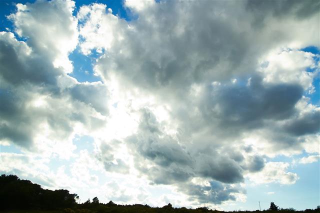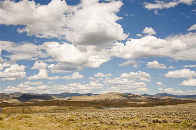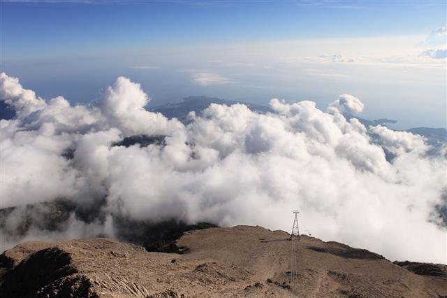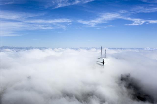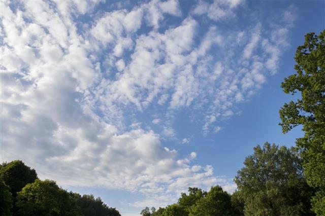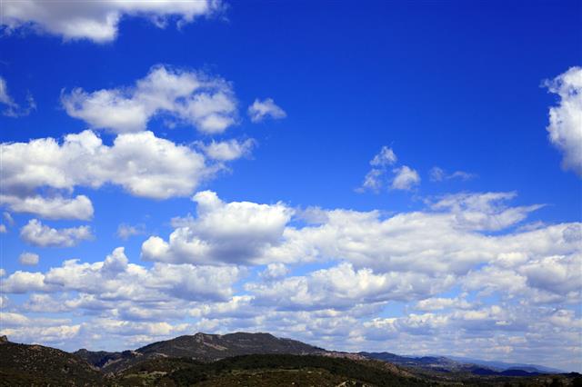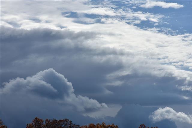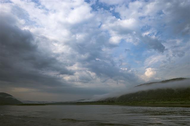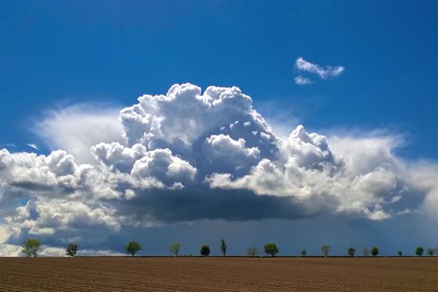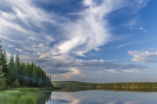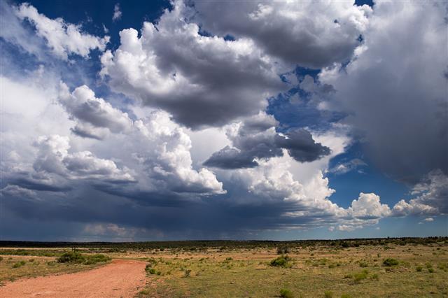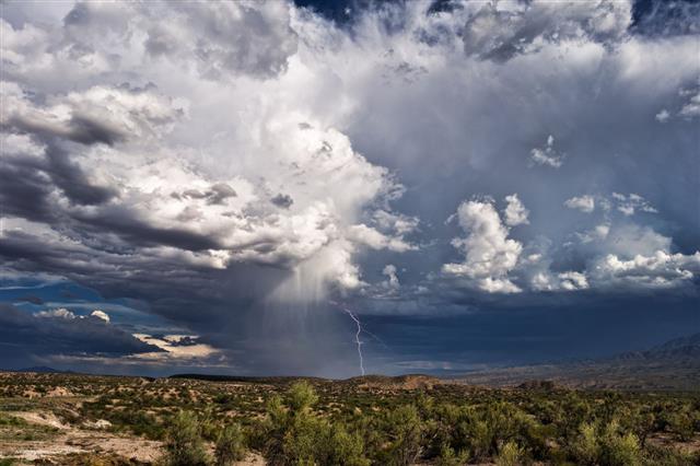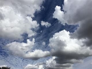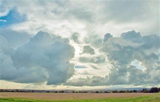
It is a well-known fact that altostratus clouds are mid-level clouds. But how do these clouds look and what are the other characteristic facts about them? This piece from ScienceStruck will not only make you aware about the many facts related to altostratus clouds, but will also provide you with some beautiful images of its varieties.
Did You Know?
Altostratus clouds can form ice layers on an aircraft’s wings. This can result in the change of its aerodynamics, which can lead to dangerous consequences.
Altostratus clouds spread across a huge area in the sky―about hundreds of square kilometers. A light rainy weather can be associated with the formation of altostratus clouds. These clouds, by themselves, are not capable enough to cause heavy rains. Only when they advance to become nimbostratus clouds that they can cause heavy precipitation due to the moisture content collected in them.
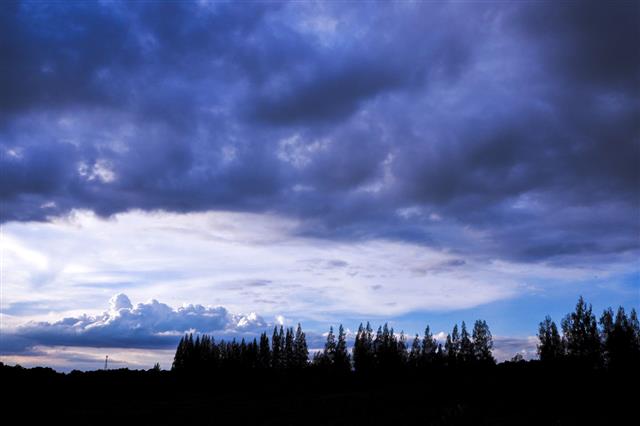
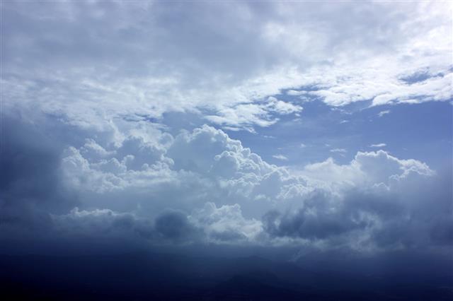
Altostratus clouds do not allow the formation of any shadows as its thickness blocks the sunlight from reaching the ground. Altostratus is a Latin word which can be broken down as ‘alto’, meaning middle, ‘stratus’, meaning layered. These are mid-level clouds formed in the troposphere. They are formed between 6,500 to 20,000 feet above the ground level. These are usually distinguished by a uniform and plain gray layer with bluish hues.
As compared to other mid-level clouds, altostratus clouds are lighter than nimbostratus but darker than cirrostratus. They are either thick or thin and consist of snowflakes, rain, or ice crystals, depending on their altitude and temperature in the troposphere.
How Do Altostratus Clouds Form
- When large masses of air rise up and condense due to the advancing frontal system, altostratus clouds are formed.
- These clouds appear when there is a high moisture content in the air. The appearance of the sun is ‘watery’ when these clouds are thin, i.e., when viewed through the clouds, the sun appears dim and fuzzy.
- When the middle portion of a cumulonimbus cloud spreads about the sky, altostratus cumulonimbogenitus makes an appearance.
- Also, when altocumulus elements fuse together, altostratus altocumulogenitus is developed.
- Altostratus cirrostratomutatus is a variety which forms as a result of thickened cirrostratus clouds.
- In most cases, when the disturbance in the weather is weakening, nimbostratus clouds rise and alters into altostratus.
Varieties of Altostratus Clouds
Unlike other clouds, these are not categorized into species, because altostratus clouds lack definite forms or shapes. Nevertheless, these clouds are classified into different varieties.
Altostratus Undulatus
This type is marked by wave-like formations, owing to the wind shear.
Altostratus Duplicates
This variety is distinguished by the formation of two or more altostratus clouds on top of each other.
Altostratus Pannus

In this case, lots of altostratus clouds assemble together chaotically in the form of shreds. This type is classified as an accessory cloud.
Altostratus Translucidus
These clouds look like semi-transparent veil. The sun or moon can be seen through these layers of clouds. It also results in the formation of corona, which is nothing but the scattering of light, through tiny particles of the cloud.
Altostratus Radiatus
This variety consists of parallel bands of clouds which run across a wide distance in the sky.
Altostratus Opacus
The synonym for a transparent altostratus is known as opacus. As compared to translucidus, this variety blocks out the Sun and is more thicker in appearance.
Altostratus Mamma

This variety is a type of accessory cloud and looks like an assembly of pouches, similar to mammary glands.
Another interesting fact about the altostratus clouds is that they have a tendency to produce long and continuous rains. They become thicker as they approach the ground level and are thin at higher altitudes. Altostratus clouds commonly precede to develop into nimbostratus clouds and are less opaque than the latter.

